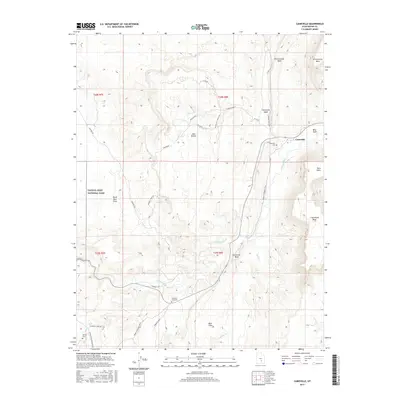
2017 Map of Caineville
USGS Topo · Published 2017About this map
The Fremont River carves its way through a desert landscape dominated by high mesas and intricate reef systems in this recent study of central Utah. The settlement of Caineville serves as a small hub where Caineville Wash meets the river, situated between the massive North Caineville Mesa and South Caineville Mesa. The map captures a high level of detail regarding the historical transit routes used by early settlers, specifically the Moab to Boulder Town route. This path winds through the rugged southern section of the Capitol Reef National Park boundary, illustrating the topographic challenges faced by travelers in the region. Genealogists will find particular interest in the dispersed burial sites, including the Caineville Cemetery, the Notom Cemetery, and the isolated Crowther Gravesite located near the riverbank. Significant geomorphological features like North Caineville Reef and the Red Desert define the open spaces surrounding these historic markers.
Find a feature on this map
73 named features on this map. Tap any name to fly to it.
Don’t see what you’re looking for? This feature index may not catch every label — zoom into the map to look around manually.
Map Details
Editions of this 2017 Caineville Map
This is the sole edition of this map. No revisions or reprints were ever made.
Other maps of this area

1885 · San Rafael
USGS Topo · 1:250,000

1885 · Fish Lake
USGS Topo · 1:250,000

1896 · Fish Lake
USGS Topo · 1:250,000

1952 · Notom 4 NW
USGS Topo · 1:24,000

1952 · Notom 4 NE
USGS Topo · 1:24,000

1952 · Notom 1 SW
USGS Topo · 1:24,000

1952 · Notom
USGS Topo · 1:62,500

1954 · Mt. Ellen 2 SW
USGS Topo · 1:24,000

1954 · Mt. Ellen 2 NW
USGS Topo · 1:24,000

1954 · Notom 1 NE
USGS Topo · 1:24,000