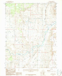
1987 Map of Caineville
USGS Topo · Published 1987About this map
The Fremont River carves a deep path through Wayne County, defining the settlement patterns and geographic boundaries of this desert region in the late 1980s. The small community of Caineville serves as the primary outpost, situated at the base of the towering North Caineville Mesa and South Caineville Mesa. This survey reflects a landscape shaped by both water and mineral interest, where the Red Desert meets the Blue Hills along the eastern edge of Capitol Reef National Park.
Find a feature on this map
15 named features on this map. Tap any name to fly to it.
Don’t see what you’re looking for? This feature index may not catch every label — zoom into the map to look around manually.
Map Details
Editions of this 1987 Caineville Map
This is the sole edition of this map. No revisions or reprints were ever made.
Other maps of this area
1885 · San Rafael
USGS Topo · 1:250,000
1885 · Fish Lake
USGS Topo · 1:250,000
1896 · Fish Lake
USGS Topo · 1:250,000
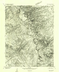
1952 · Notom 4 NW
USGS Topo · 1:24,000
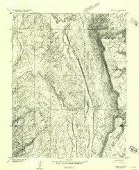
1952 · Notom 4 NE
USGS Topo · 1:24,000
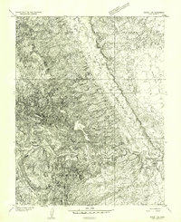
1952 · Notom 1 SW
USGS Topo · 1:24,000
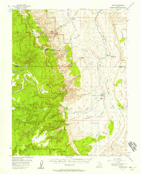
1952 · Notom
USGS Topo · 1:62,500
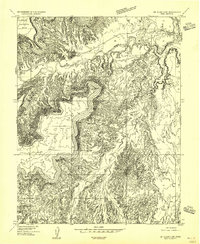
1954 · Mt. Ellen 2 SW
USGS Topo · 1:24,000
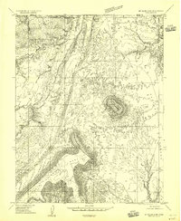
1954 · Mt. Ellen 2 NW
USGS Topo · 1:24,000
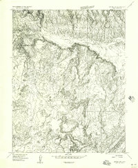
1954 · Notom 1 NE
USGS Topo · 1:24,000