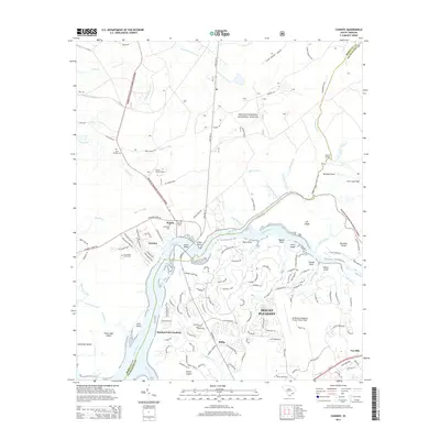
2014 Map of Cainhoy
USGS Topo · Published 2014About this map
Francis Marion National Forest defines the northern and eastern reaches of this coastal landscape, where the dense woodland meets the complex tidal network of the Wando River. The settlement of Cainhoy sits at a critical bend in the river, surrounded by several historically significant burial sites including Nelliefield Creek Cem and Wando Cem. The map illustrates a region in transition, where residential developments like those in Mount Pleasant and Philip push toward the margins of the forest and the river’s edge. Along the water, numerous named points and islands such as O'Hare Point and Juba Island reveal the intricate geography of the Lowcountry. In the southeast, the Mt Pleasant Regional Airport-Faison Field serves as a modern landmark, while the Wando Lookout Tower stands as a sentinel over the wooded interior. This survey documents the intersection of rural heritage, protected wilderness, and expanding suburban infrastructure near the Berkeley and Charleston county line.
Find a feature on this map
156 named features on this map. Tap any name to fly to it.
Don’t see what you’re looking for? This feature index may not catch every label — zoom into the map to look around manually.
Map Details
Editions of this 2014 Cainhoy Map
This is the sole edition of this map. No revisions or reprints were ever made.
Other maps of this area

1919 · Capers Island
USGS Topo · 1:21,120

1919 · Wando
USGS Topo · 1:21,120

1919 · Cordesville
USGS Topo · 1:48,000

1919 · Melgrove
USGS Topo · 1:21,120

1919 · Charleston
USGS Topo · 1:21,120

1919 · Fort Moultrie
USGS Topo · 1:21,120

1919 · Sewee Bay
USGS Topo · 1:21,120

1940 · Melgrove
USGS Topo · 1:24,000

1943 · Capers Island
USGS Topo · 1:24,000

1943 · Fort Moultrie
USGS Topo · 1:24,000