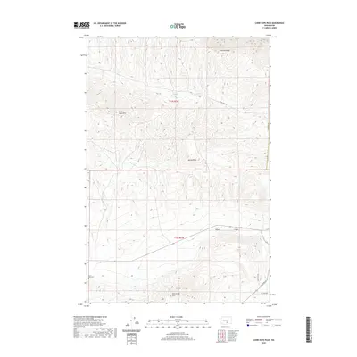
2020 Map of Cairn Hope Peak
USGS Topo · Published 2020About this map
Cairn Hope Peak rises as a prominent landmark within this high desert landscape of central Washington. The terrain is defined by a series of dramatic structural folds including Umtanum Ridge, Yakima Ridge, and the northern reaches of the Rattlesnake Hills. These ridges frame the broad Black Rock Valley, where Black Rock Cem serves as a silent witness to the early ranching families who attempted to settle this arid interior. The map shows a sparse network of corridors like Wautoma Rd and Filey Rd that skirt the base of the hills, while seasonal drainage from Cold Cr carves through the basalt formations. This 2020 survey documents a territory where the topography remains the dominant feature, punctuated by high points like Horsethief Point that offer wide vistas across the rain shadow of the Cascades.
Find a feature on this map
16 named features on this map. Tap any name to fly to it.
Don’t see what you’re looking for? This feature index may not catch every label — zoom into the map to look around manually.
Map Details
Editions of this 2020 Cairn Hope Peak Map
This is the sole edition of this map. No revisions or reprints were ever made.
Other maps of this area

1910 · Zillah
USGS Topo · 1:125,000

1915 · Prosser
USGS Topo · 1:125,000

1917 · Priest Rapids
USGS Topo · 1:62,500

1917 · Prosser
USGS Topo · 1:125,000

1936 · Hog Ranch Buttes
USGS Topo · 1:48,000

1941 · Black Rock Spring
USGS Topo · 1:62,500

1948 · Cairn Hope Peak
USGS Topo · 1:24,000

1948 · Emerson Nipple
USGS Topo · 1:24,000

1948 · Priest Rapids
USGS Topo · 1:24,000

1950 · Yakima
USGS Topo · 1:250,000