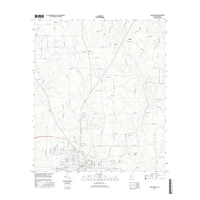
2017 Map of Cairo North
USGS Topo · Published 2017About this map
Cairo serves as the focal point of this Grady County landscape, where the northern residential and commercial reaches of the city meet a network of rural settlements like Capel, Akridge, and Elpino. The terrain is defined by a dense system of waterways including Little Tired Creek and Brumbley Creek, which flow through a region heavily marked by its local history and genealogy. Numerous community burial grounds, such as Saint James Cemetery and Greenwood Cemetery, are preserved near the municipal center. Farther afield, small family or community-named landmarks like Nixon Lake and Pleasant Grove Cemetery suggest long-established agricultural patterns. The southern portion of the map highlights the infrastructure supporting the modern community, including the Cairo-Grady County Airport and recreational water bodies like Country Club Lake and Faleoner Lake.
Find a feature on this map
119 named features on this map. Tap any name to fly to it.
Don’t see what you’re looking for? This feature index may not catch every label — zoom into the map to look around manually.
Map Details
Editions of this 2017 Cairo North Map
This is the sole edition of this map. No revisions or reprints were ever made.
Other maps of this area

1953 · Dothan
USGS Topo · 1:250,000

1954 · Dothan
USGS Topo · 1:250,000

1954 · Tallahassee
USGS Topo · 1:250,000

1955 · Dothan
USGS Topo · 1:250,000

1955 · Whigham
USGS Topo · 1:62,500

1956 · Cairo
USGS Topo · 1:62,500

1959 · Tallahassee
USGS Topo · 1:250,000

1960 · Tallahassee
USGS Topo · 1:250,000

1971 · Meigs
USGS Topo · 1:24,000

1971 · Gee Pond
USGS Topo · 1:24,000