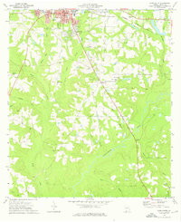
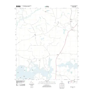
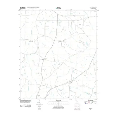
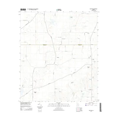
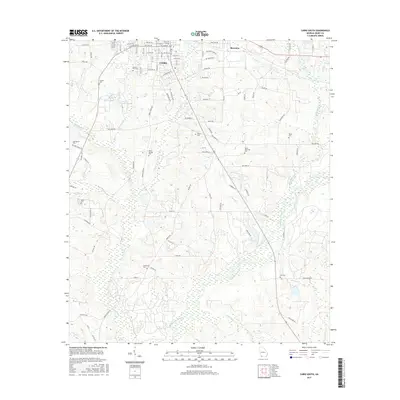
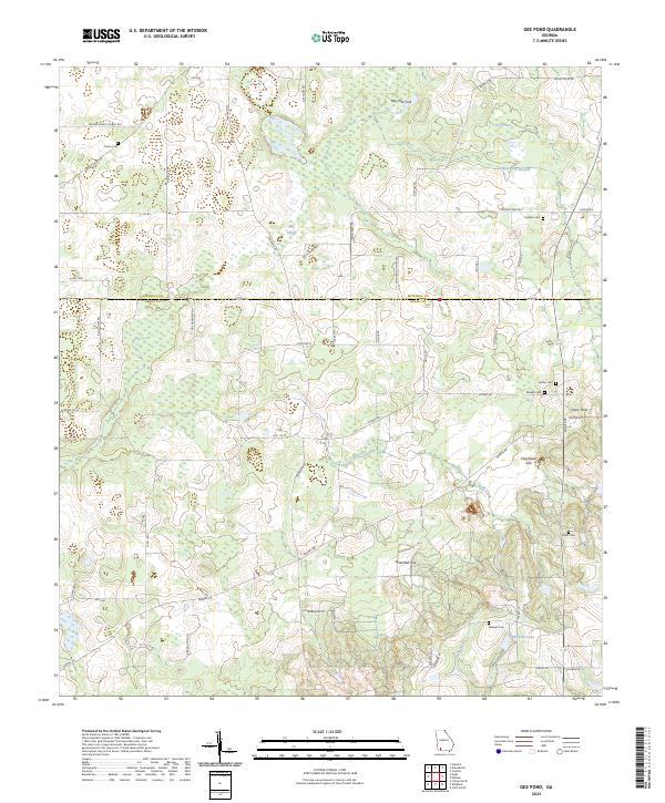
1971 Map of Gee Pond
USGS Topo · Published 1974About this map
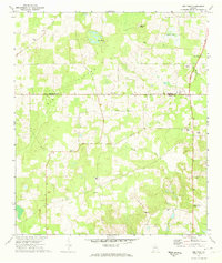
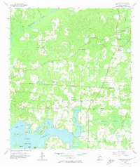
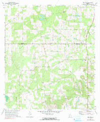
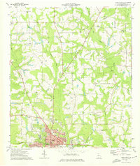
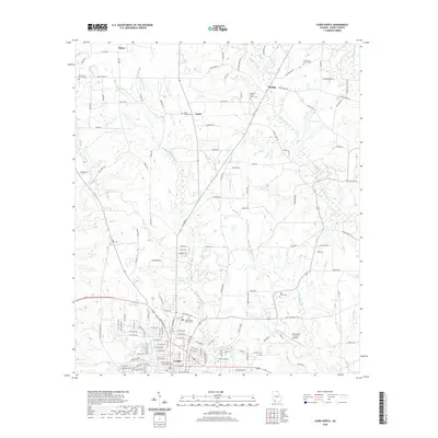
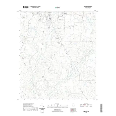
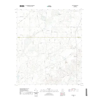
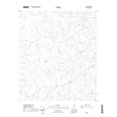
The south Georgia landscape near the Mitchell Co Grady Co line is defined by its subtle depressions and an extensive network of small country churches. This 1971 study highlights the importance of spiritual and community centers like Mt Vernon Ch, Allen Chapel, and Mizpah Ch in the daily lives of rural residents. The hydrology of the area is particularly distinctive, featuring natural sinks and basins such as Gee Pond, Bay Pole Sink, and the colorfully named Devils Den and Glory Hole.
Find a feature on this map
21 named features on this map. Tap any name to fly to it.
Don’t see what you’re looking for? This feature index may not catch every label — zoom into the map to look around manually.
Map Details
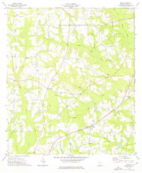
Editions of this 1971 Gee Pond Map
2 editions found
Historical Maps of Pawnee Through Time
32 maps found
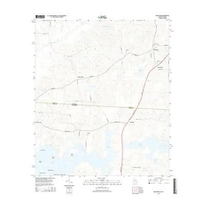
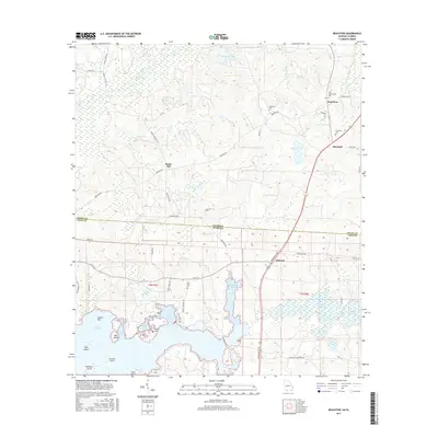
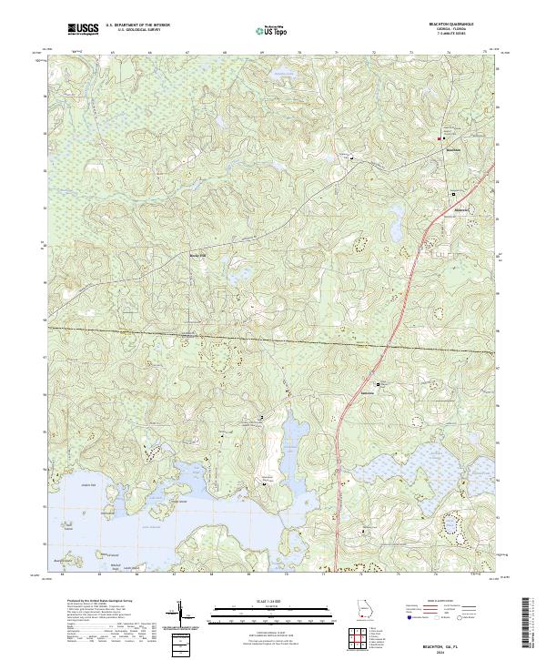
1957 Beachton
Grady County, GA
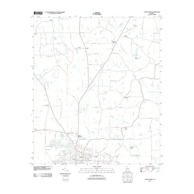
1971 Gee Pond
Grady County, GA
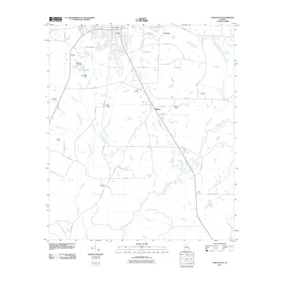
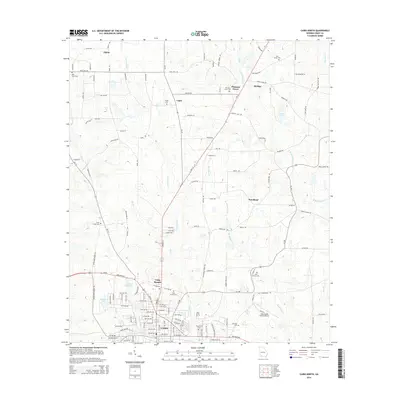
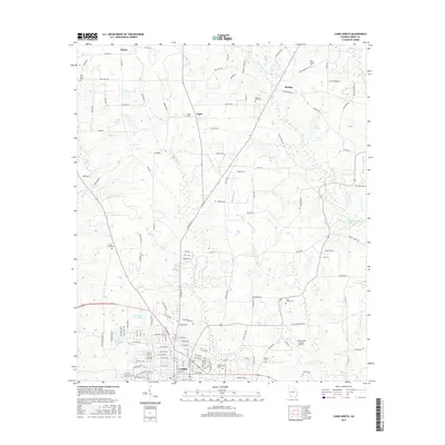
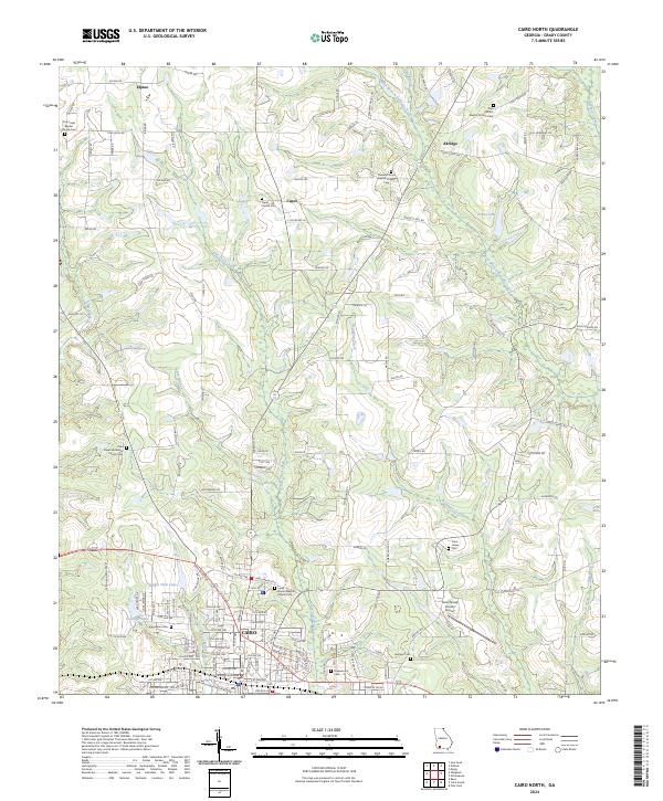
1974 Cairo North
Grady County, GA
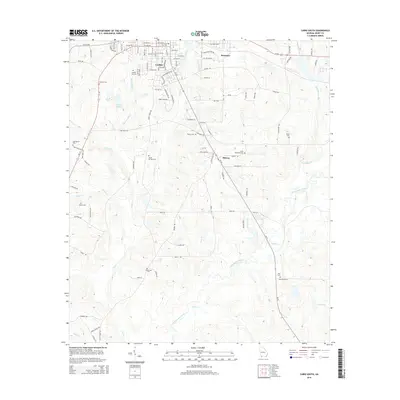
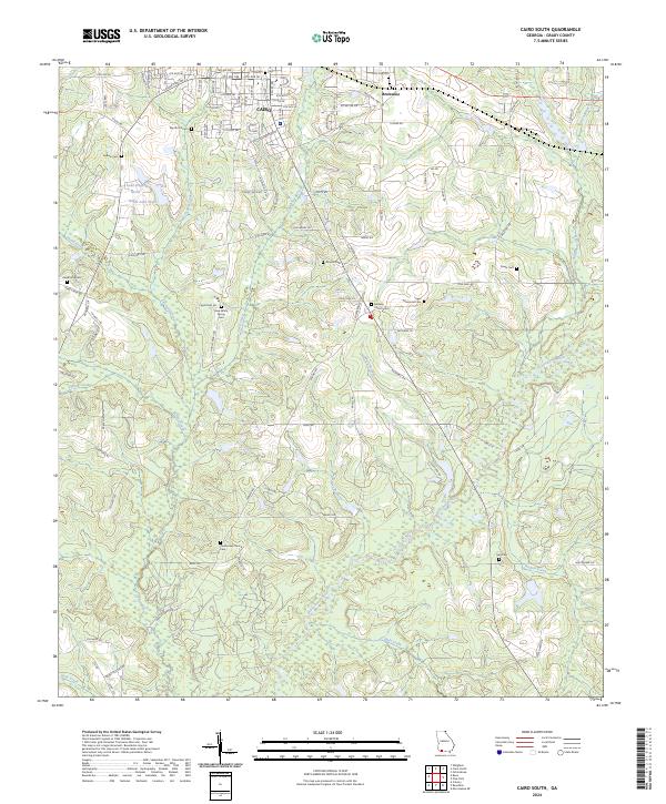
1974 Cairo South
Grady County, GA
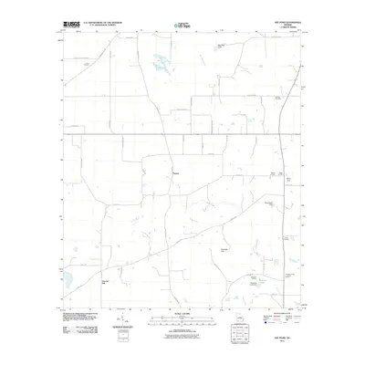
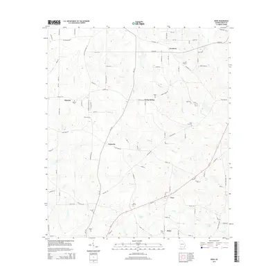
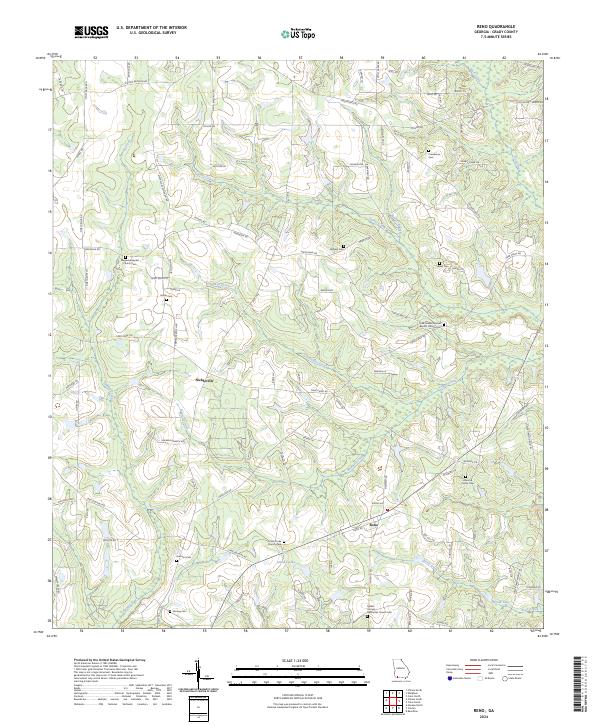
1974 Reno
Grady County, GA
1982 Beachton
Grady County, GA
1994 Beachton
Grady County, GA
2011 Beachton
Grady County, GA
2011 Cairo North
Grady County, GA
2011 Cairo South
Grady County, GA
2011 Gee Pond
Grady County, GA
2011 Reno
Grady County, GA
2014 Beachton
Grady County, GA
2014 Cairo North
Grady County, GA
2014 Cairo South
Grady County, GA
2014 Gee Pond
Grady County, GA
2014 Reno
Grady County, GA
2017 Beachton
Grady County, GA
2017 Cairo North
Grady County, GA
2017 Cairo South
Grady County, GA
2017 Gee Pond
Grady County, GA
2017 Reno
Grady County, GA
2020 Beachton
Grady County, GA
2020 Cairo North
Grady County, GA
2020 Cairo South
Grady County, GA
2020 Gee Pond
Grady County, GA
2020 Reno
Grady County, GA
2024 Beachton
Grady County, GA
2024 Cairo North
Grady County, GA
2024 Cairo South
Grady County, GA
2024 Gee Pond
Grady County, GA
2024 Reno
Grady County, GA