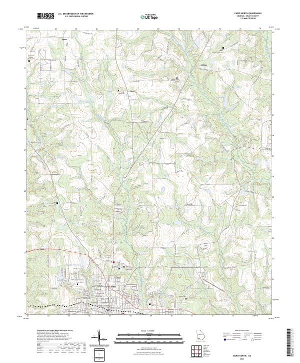
2024 Map of Cairo North
USGS Topo · Published 2024About this map
The Grady County Courthouse anchors the southern portion of this landscape, marking the seat of government in Cairo. The terrain is defined by a dense network of small waterways, including Little Tired Creek, Brumbley Creek, and Parkers Mill Creek, which wind through the agricultural lands north of the city. These creek systems historically influenced the placement of the many rural churches and family burial grounds that dot the countryside, such as the Long Branch Baptist Church Cem and Capel Church Cem.
Find a feature on this map
138 named features on this map. Tap any name to fly to it.
Don’t see what you’re looking for? This feature index may not catch every label — zoom into the map to look around manually.
Map Details
Editions of this 2024 Cairo North Map
This is the sole edition of this map. No revisions or reprints were ever made.
Other maps of this area

1953 · Dothan
USGS Topo · 1:250,000

1954 · Dothan
USGS Topo · 1:250,000

1954 · Tallahassee
USGS Topo · 1:250,000

1955 · Dothan
USGS Topo · 1:250,000

1955 · Whigham
USGS Topo · 1:62,500

1956 · Cairo
USGS Topo · 1:62,500

1959 · Tallahassee
USGS Topo · 1:250,000

1960 · Tallahassee
USGS Topo · 1:250,000

1971 · Meigs
USGS Topo · 1:24,000

1971 · Gee Pond
USGS Topo · 1:24,000