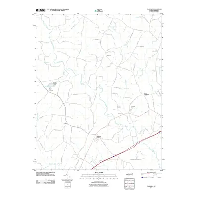
2010 Map of Calahaln
USGS Topo · Published 2010About this map
Hunting Creek meanders southward through this rural landscape, joined by tributaries like Bear Creek and Beaver Creek before eventually meeting the South Yadkin River at the map's southern edge. The area is characterized by a network of established local settlements such as Calahaln, Sheffield, and Ijames Crossroads. These communities are connected by a web of named rural routes, including Sheffield Rd and County Line Rd, which trace the path of local commerce and residency.
Find a feature on this map
79 named features on this map. Tap any name to fly to it.
Don’t see what you’re looking for? This feature index may not catch every label — zoom into the map to look around manually.
Map Details
Editions of this 2010 Calahaln Map
This is the sole edition of this map. No revisions or reprints were ever made.
Other maps of this area

1891 · Yadkinville
USGS Topo · 1:125,000

1893 · Statesville
USGS Topo · 1:125,000

1893 · Yadkinville
USGS Topo · 1:125,000

1953 · Charlotte
USGS Topo · 1:250,000

1953 · Winston-Salem
USGS Topo · 1:250,000

1954 · Charlotte
USGS Topo · 1:250,000

1955 · Winston-Salem
USGS Topo · 1:250,000

1960 · Charlotte
USGS Topo · 1:250,000

1962 · Winston-Salem
USGS Topo · 1:250,000

1962 · Charlotte
USGS Topo · 1:250,000