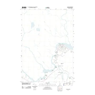
2011 Map of Calais
USGS Topo · Published 2011About this map
The Saint Croix River defines this borderland landscape, separating the American settlements of Calais and Milltown from their Canadian counterparts. In the early 21st century, the area's infrastructure reflects a long history of water power and commerce, anchored by the Milltown Power Station Dam and the International Bridge. Further south, the village of Baring sits near the river's edge, where the terrain is punctuated by significant islands like Sawdust Island and McKeesick Island.
Find a feature on this map
41 named features on this map. Tap any name to fly to it.
Don’t see what you’re looking for? This feature index may not catch every label — zoom into the map to look around manually.
Map Details
Editions of this 2011 Calais Map
This is the sole edition of this map. No revisions or reprints were ever made.
Other maps of this area

1929 · Calais
USGS Topo · 1:48,000

1929 · Robbinston
USGS Topo · 1:48,000

1931 · Robbinston
USGS Topo · 1:62,500

1932 · Calais
USGS Topo · 1:62,500

1940 · Kellyland
USGS Topo · 1:62,500

1942 · Kellyland
USGS Topo · 1:62,500

1949 · Calais
USGS Topo · 1:24,000

1949 · Red Beach
USGS Topo · 1:24,000

1949 · Devils Head
USGS Topo · 1:24,000
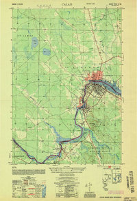
1954 · Calais
USGS Topo · 1:25,000