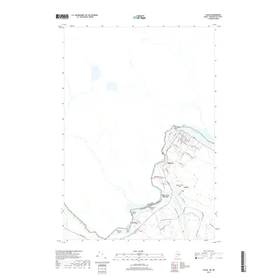
2018 Map of Calais
USGS Topo · Published 2018About this map
The St. Croix River serves as the international boundary on this Maine-New Brunswick borderland sheet, where the industrial and residential corridors of Calais and Milltown meet the Canadian shore. The river's winding path is punctuated by several small islands including Sawdust Island and McKeesick Island, while the interior terrain is marked by the heights of Magurrewock Mtn. Moving south, the landscape transitions into the wetlands of Goodall Heath and the waterways of Magurrewock Stream, showing the contrast between the dense street grid of the city and the preserved natural spaces along the Greenway Trail. Genealogy researchers will find the layout of Calais Cem and the small settlement at Baring, while rail historians can trace the network leading to Saint Croix Junction. The map illustrates a contemporary view of this gateway between the United States and Canada.
Find a feature on this map
50 named features on this map. Tap any name to fly to it.
Don’t see what you’re looking for? This feature index may not catch every label — zoom into the map to look around manually.
Map Details
Editions of this 2018 Calais Map
This is the sole edition of this map. No revisions or reprints were ever made.
Other maps of this area

1929 · Calais
USGS Topo · 1:48,000

1929 · Robbinston
USGS Topo · 1:48,000

1931 · Robbinston
USGS Topo · 1:62,500

1932 · Calais
USGS Topo · 1:62,500

1940 · Kellyland
USGS Topo · 1:62,500

1942 · Kellyland
USGS Topo · 1:62,500

1949 · Calais
USGS Topo · 1:24,000

1949 · Red Beach
USGS Topo · 1:24,000

1949 · Devils Head
USGS Topo · 1:24,000
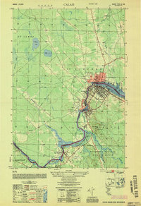
1954 · Calais
USGS Topo · 1:25,000