
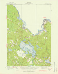
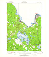
1929 Map of Calais
USGS Topo · Published 1929About this map
The St Croix River defines the international boundary between Maine and New Brunswick in this detailed survey, illustrating the close industrial and geographic ties of the border region. Industrial hubs like Woodland and Milltown are linked by the Maine Central RR, which snakes through the river valley alongside the Princeton and Calais Highway. Further inland, the map captures a rural landscape dominated by large water bodies and complex wetlands, most notably Meddybemps Lake and the sprawling Meddybemps Heath. Local history is preserved in the location of several small communities and essential landmarks, including Grove PO, North Union Sch, and the Calais Country Club. These features, along with numerous named islands like Masters I and Hardwood I, provide a clear picture of the region's early 20th-century development and land use patterns.
Find a feature on this map
58 named features on this map. Tap any name to fly to it.
Don’t see what you’re looking for? This feature index may not catch every label — zoom into the map to look around manually.
Map Details
Editions of this 1929 Calais Map
4 editions found
Other maps of this area

1907 · Eastport
USGS Topo · 1:48,000

1908 · Eastport
USGS Topo · 1:62,500

1929 · Robbinston
USGS Topo · 1:48,000

1931 · Robbinston
USGS Topo · 1:62,500

1932 · Calais
USGS Topo · 1:62,500

1940 · Waite
USGS Topo · 1:62,500

1940 · Kellyland
USGS Topo · 1:62,500

1941 · Wesley
USGS Topo · 1:62,500

1941 · Gardner Lake
USGS Topo · 1:62,500

1941 · Big Lake
USGS Topo · 1:62,500