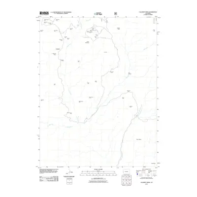
2011 Map of Calamity Mesa
USGS Topo · Published 2011About this map
Calamity Mesa serves as the focal point for this 2011 survey, a landscape defined by an extensive network of uranium and vanadium mining history. The map documents a dense concentration of named workings, ranging from the Hidden Treasure Mine in the north to the Stormy Treasure Mine further south. These sites are linked by a complex system of rugged roads, such as 22 30 RD and 17 RD, which navigate the high plateaus and deep drainage of Blue Creek.
Find a feature on this map
50 named features on this map. Tap any name to fly to it.
Don’t see what you’re looking for? This feature index may not catch every label — zoom into the map to look around manually.
Map Details
Editions of this 2011 Calamity Mesa Map
This is the sole edition of this map. No revisions or reprints were ever made.
Other maps of this area

1916 · Paradox Valley
USGS Topo · 1:125,000

1922 · Paradox Valley
USGS Topo · 1:125,000

1948 · Roc Creek
USGS Topo · 1:24,000

1949 · Roc Creek
USGS Topo · 1:24,000

1949 · Juanita Arch
USGS Topo · 1:24,000

1949 · Atkinson Creek
USGS Topo · 1:24,000

1949 · Red Canyon
USGS Topo · 1:24,000

1949 · Calamity Mesa
USGS Topo · 1:24,000

1949 · Gateway
USGS Topo · 1:24,000

1950 · Juanita Arch
USGS Topo · 1:24,000