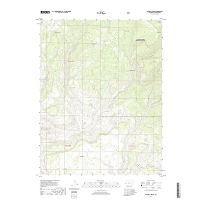
2019 Map of Calamity Mesa
USGS Topo · Published 2019About this map
The Uncompahgre Plateau dominates this high-desert landscape in Western Colorado, where complex erosion has carved a series of distinctive flat-topped landforms and deep drainages. Uncompahgre National Forest encompasses much of the eastern terrain, protecting a network of mesas including Outlaw Mesa, Triangle Mesa, and the prominent Calamity Mesa. These elevated benches are separated by steep-walled features such as Blue Creek Canyon and Little Maverick Canyon, which provide a natural conduit for seasonal water like Blue Creek.
Find a feature on this map
29 named features on this map. Tap any name to fly to it.
Don’t see what you’re looking for? This feature index may not catch every label — zoom into the map to look around manually.
Map Details
Editions of this 2019 Calamity Mesa Map
This is the sole edition of this map. No revisions or reprints were ever made.
Other maps of this area

1916 · Paradox Valley
USGS Topo · 1:125,000

1922 · Paradox Valley
USGS Topo · 1:125,000

1948 · Roc Creek
USGS Topo · 1:24,000

1949 · Roc Creek
USGS Topo · 1:24,000

1949 · Juanita Arch
USGS Topo · 1:24,000

1949 · Atkinson Creek
USGS Topo · 1:24,000

1949 · Red Canyon
USGS Topo · 1:24,000

1949 · Calamity Mesa
USGS Topo · 1:24,000

1949 · Gateway
USGS Topo · 1:24,000

1950 · Juanita Arch
USGS Topo · 1:24,000