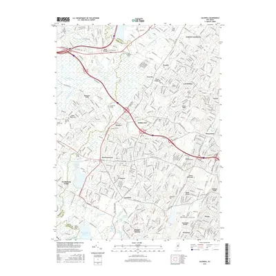
2016 Map of Caldwell
USGS Topo · Published 2016About this map
Great Piece Meadows and the extensive Hatfield Swamp define the low-lying hydrologic character of the Passaic River basin in this portion of northern New Jersey. The terrain transitions from these broad wetlands to the prominent ridges of First Watchung Mtn and Second Watchung Mtn in the east, where suburban development is most concentrated. This 2016 survey shows the dense intersection of major transportation corridors, including I-280 and Us HWY 46, which serve the established residential communities of West Caldwell, Roseland, and Livingston. Local history is preserved in sites like Hanover Cem and Restland Memorial Park, while institutional landmarks such as Caldwell Univ and the Essex County Airport reflect the area's modern educational and civic infrastructure. The presence of numerous reservoirs, such as Canoe Brook Reservoir Number 1 and the Commonwealth Water Company Reservoir Number Three, highlights the region's critical role in regional water management.
Find a feature on this map
73 named features on this map. Tap any name to fly to it.
Don’t see what you’re looking for? This feature index may not catch every label — zoom into the map to look around manually.
Map Details
Editions of this 2016 Caldwell Map
This is the sole edition of this map. No revisions or reprints were ever made.
Other maps of this area

1888 · Plainfield
USGS Topo · 1:62,500

1888 · Morristown
USGS Topo · 1:62,500

1888 · Paterson
USGS Topo · 1:62,500

1892 · Paterson
USGS Topo · 1:62,500

1893 · Plainfield
USGS Topo · 1:62,500

1894 · Morristown
USGS Topo · 1:62,500

1898 · Morristown
USGS Topo · 1:62,500

1898 · Plainfield
USGS Topo · 1:62,500

1898 · Staten Island
USGS Topo · 1:62,500

1898 · Paterson
USGS Topo · 1:62,500