2023 Map of Caldwell North
USGS Topo · Published 2023About this map
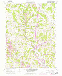
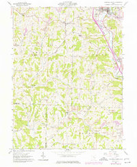
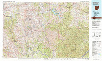
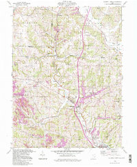
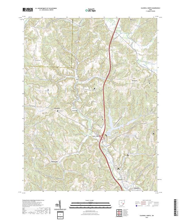
West Fork Duck Creek winds through the heart of this landscape, tracing a path alongside the village of Belle Valley and the smaller settlements of Ava and Coal Ridge. The region's industrial and agricultural character is evident in the presence of the Central Ohio Coal Company Nb-151 Reservoir and the Eastern Ohio Research Development Center Pond, alongside the Noble County Airport. Numerous small family and community burial grounds, such as Halleys Ridge Cem, McElroy Cem, and Scott Cem, are scattered across the ridges, providing valuable locations for genealogical research. The geography is defined by a network of local roads and townships, including Hiramsburg and Hoskinsville, which connect the various valleys and high points like Noble Hill. To the east, Wolf Run Lake and the drainage of Buffalo Creek highlight the importance of water management in this part of southeastern Ohio.
Find a feature on this map
137 named features on this map. Tap any name to fly to it.
Don’t see what you’re looking for? This feature index may not catch every label — zoom into the map to look around manually.
Map Details
Editions of this 2023 Caldwell North Map
This is the sole edition of this map. No revisions or reprints were ever made.
Historical Maps of Ava Through Time
7 maps found