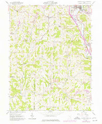
1961 Map of Caldwell South
USGS Topo · Published 1977About this map
The hills of Noble and Morgan counties in the early 1960s reveal a landscape defined by industrial extraction and deep-rooted family settlements. This survey, updated with mid-1970s photogrammetric data, shows extensive Strip Mine activity cutting across the ridges of Old Tom Ridge and Coffee Knob, contrasting with the numerous family cemeteries that dot the countryside. Small rural clusters like Keith, Dudley, and Olive Green anchor the terrain, while larger centers like Caldwell show the development of infrastructure including the Fairgrounds and the Conrail rail line along West Fork Duck Creek. The sheer density of legacy burial sites, from Tiltonville Cem to Danford Cem, provides a detailed geographic record for genealogists tracking early pioneer families through the winding valleys of Sharon Fork and Keith Fork.
Find a feature on this map
54 named features on this map. Tap any name to fly to it.
Don’t see what you’re looking for? This feature index may not catch every label — zoom into the map to look around manually.
Map Details
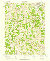
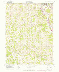
Editions of this 1961 Caldwell South Map
3 editions found
Other maps of this area

1903 · Macksburg
USGS Topo · 1:62,500

1905 · Macksburg
USGS Topo · 1:62,500

1909 · Caldwell
USGS Topo · 1:62,500

1909 · Summerfield
USGS Topo · 1:62,500

1911 · Cumberland
USGS Topo · 1:62,500

1911 · Summerfield
USGS Topo · 1:62,500

1912 · Caldwell
USGS Topo · 1:62,500

1949 · Clarksburg
USGS Topo · 1:250,000

1956 · Clarksburg
USGS Topo · 1:250,000

1961 · Clarksburg
USGS Topo · 1:250,000