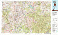
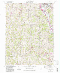
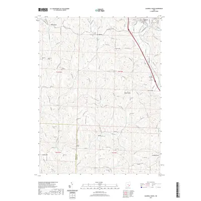
1980 Map of Senecaville Lake
USGS Topo · Published 1984About this map
Senecaville Lake and the surrounding plateau of southeast Ohio are defined here by a landscape of high ridges and deep-cut stream valleys, including the Muskingum River and Ohio River corridors. This 1980 survey captures the region during a period of industrial transition, where extensive Strip Mines mark the terrain alongside conservation areas like Wayne National Forest. The map documents the intricate network of county roads and state highways that connect long-established settlements such as Zanesville, Barnesville, and Woodsfield.
Find a feature on this map
233 named features on this map. Tap any name to fly to it.
Don’t see what you’re looking for? This feature index may not catch every label — zoom into the map to look around manually.
Map Details
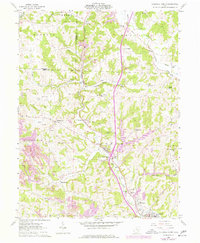
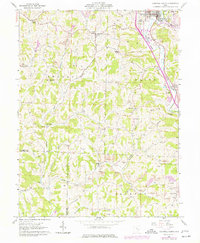
Editions of this 1980 Senecaville Lake Map
2 editions found

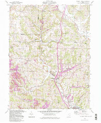
Historical Maps of Zanesville Through Time
15 maps found
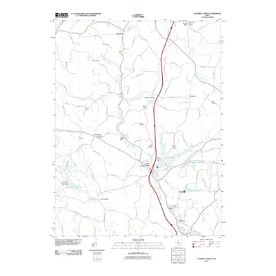
1961 Caldwell North
Noble County, OH
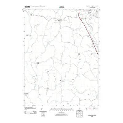
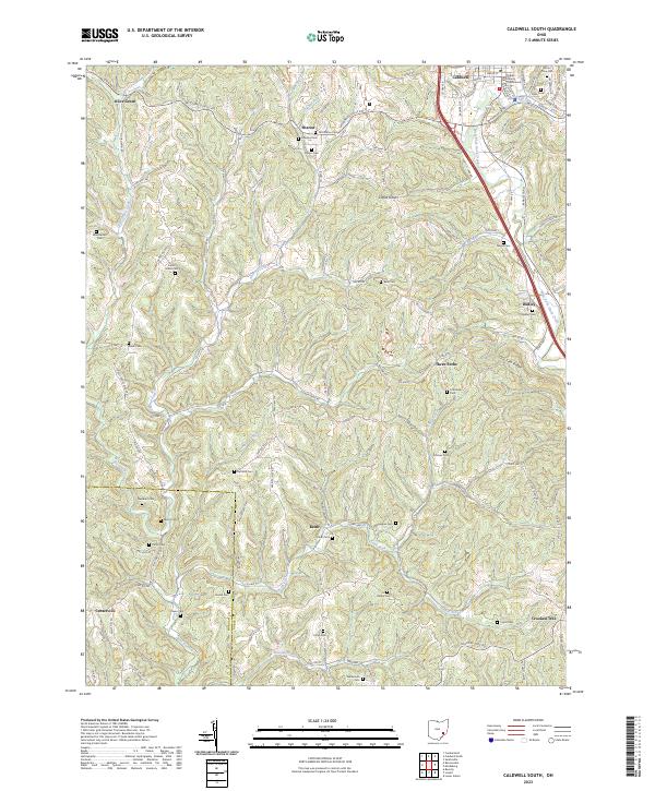
1961 Caldwell South
Noble County, OH
1980 Senecaville Lake
Noble County, OH
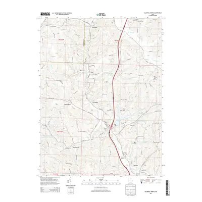
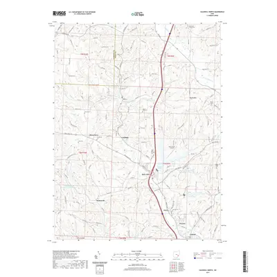
1994 Caldwell North
Noble County, OH
1994 Caldwell South
Noble County, OH
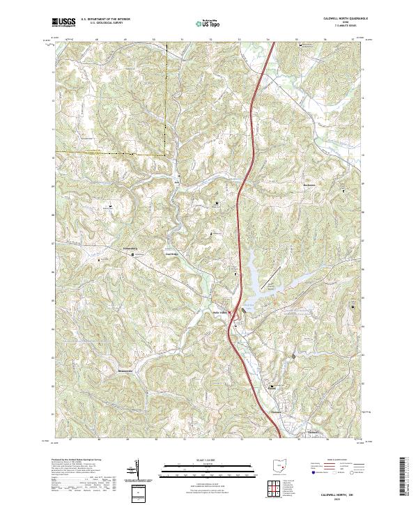
2010 Caldwell North
Noble County, OH
2010 Caldwell South
Noble County, OH
2013 Caldwell North
Noble County, OH
2013 Caldwell South
Noble County, OH
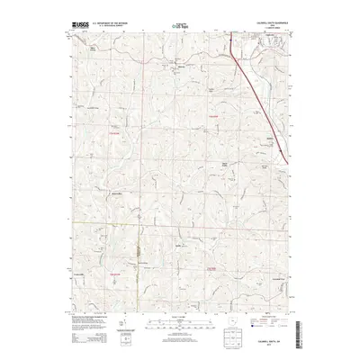
2016 Caldwell North
Noble County, OH
2016 Caldwell South
Noble County, OH
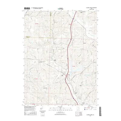
2019 Caldwell North
Noble County, OH
2019 Caldwell South
Noble County, OH
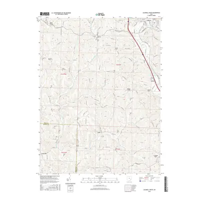
2023 Caldwell North
Noble County, OH
2023 Caldwell South
Noble County, OH