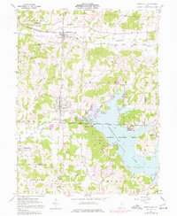
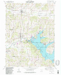
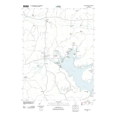
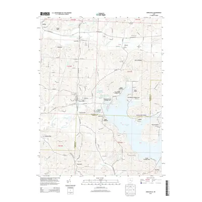
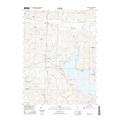
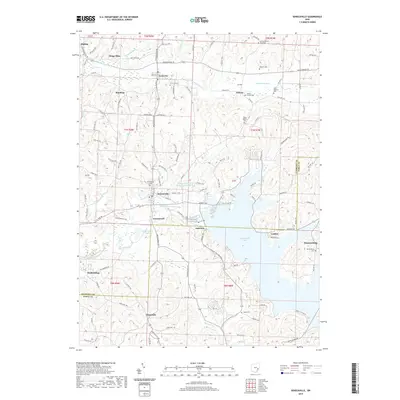
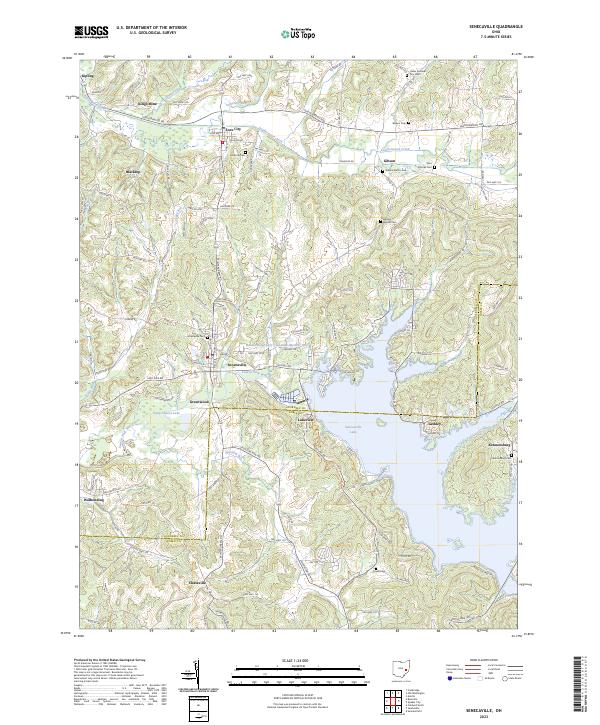
1980 Map of Senecaville
USGS Topo · Published 1983About this map
Zanesville stands as a primary hub in this eastern Ohio landscape, where the Muskingum River flows past Blue Rock Ridge and through the Blue Rock State Forest. The map documents a region defined by its industrial and natural resources, notably the extensive Strip Mines that mark the terrain near Cumberland and Ava. The sprawling waters of Senecaville Lake and the deep woods of the Wayne National Forest illustrate the transition into the Appalachian foothills. Transportation networks are well-developed, featuring Interstate 70 alongside historic rail lines like the Baltimore and Ohio RR and Conrail. From the smaller settlements of New Concord and Barnesville to the banks of the Ohio River along the West Virginia border, this survey captures the rural character and extractive economy of Guernsey, Muskingum, and Noble counties.
Find a feature on this map
95 named features on this map. Tap any name to fly to it.
Don’t see what you’re looking for? This feature index may not catch every label — zoom into the map to look around manually.
Map Details
Editions of this 1980 Senecaville Map
2 editions found
Historical Maps of Zanesville Through Time
7 maps found