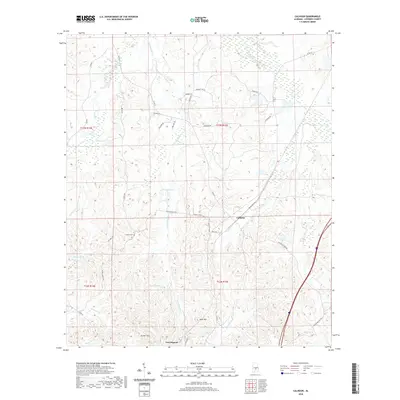
2020 Map of Calhoun
USGS Topo · Published 2020About this map
Calhoun and the northern edge of Fort Deposit anchor this landscape in Lowndes County, where the terrain transitions from the elevations of Skid Hill and the Gilmer Hills into a dense network of riparian corridors. The hydrology is dominated by the winding paths of Fort Deposit Cr, Ballards Cr, and Lake Cr, which feed into several local landmarks including Collins Lake and Hartleys Pond. These watercourses historically dictated the placement of early travel routes and settlements in this part of Alabama.
Find a feature on this map
40 named features on this map. Tap any name to fly to it.
Don’t see what you’re looking for? This feature index may not catch every label — zoom into the map to look around manually.
Map Details
Editions of this 2020 Calhoun Map
This is the sole edition of this map. No revisions or reprints were ever made.
Other maps of this area

1953 · Montgomery
USGS Topo · 1:250,000

1953 · Andalusia
USGS Topo · 1:250,000

1956 · Montgomery
USGS Topo · 1:250,000

1957 · Montgomery
USGS Topo · 1:250,000

1957 · Andalusia
USGS Topo · 1:250,000

1957 · Letohatchee
USGS Topo · 1:62,500

1971 · Fort Deposit
USGS Topo · 1:24,000

1971 · Fort Dale
USGS Topo · 1:24,000

1971 · Danielsville
USGS Topo · 1:24,000
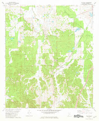
1981 · Calhoun
USGS Topo · 1:24,000