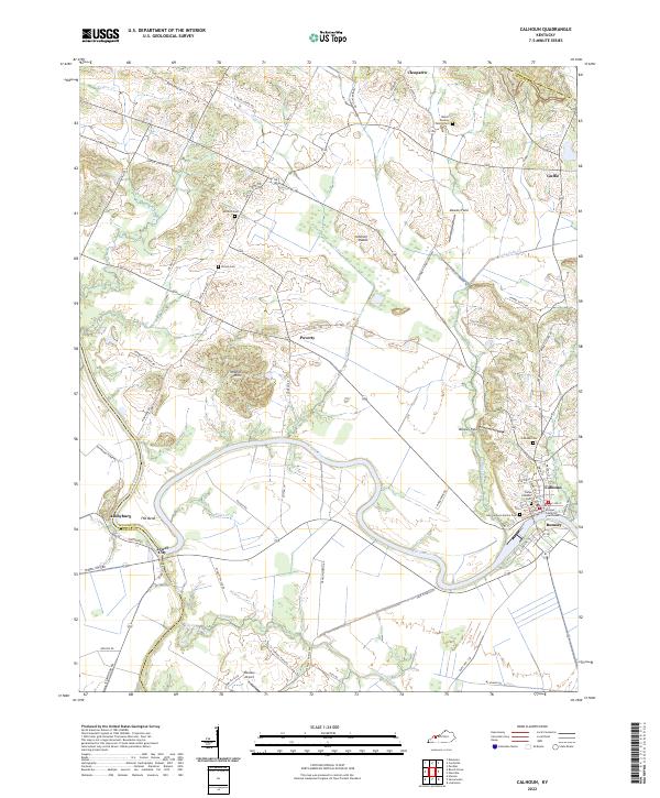
2022 Map of Calhoun
USGS Topo · Published 2022About this map
The Green River carves a winding path through McLean County, anchoring the riverside communities of Calhoun and Rumsey. As the county seat, Calhoun is defined by its civic heart at the McLean County Courthouse and a cluster of local history sites, including the Camp Calhoun Cem and the Calhoun Cem. The landscape transitions from the riparian bottomlands of The Bend to the elevated Tichenor Hills, reflecting a region shaped by both its waterways and agricultural tradition.
Find a feature on this map
76 named features on this map. Tap any name to fly to it.
Don’t see what you’re looking for? This feature index may not catch every label — zoom into the map to look around manually.
Map Details
Editions of this 2022 Calhoun Map
This is the sole edition of this map. No revisions or reprints were ever made.
Other maps of this area

1906 · Sutherland
USGS Topo · 1:62,500

1908 · Calhoun
USGS Topo · 1:62,500

1909 · Madisonville
USGS Topo · 1:62,500

1909 · Central City
USGS Topo · 1:62,500

1952 · Livermore
USGS Topo · 1:24,000

1952 · Sacramento
USGS Topo · 1:24,000

1952 · Calhoun
USGS Topo · 1:24,000

1952 · Beech Grove
USGS Topo · 1:24,000

1952 · Hanson
USGS Topo · 1:24,000
1953 · Glenville
USGS Topo · 1:24,000