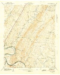
1944 Map of Calhoun
USGS Topo · Published 1946About this map
The Hiwassee River dominates this mid-century landscape, carving deep bends like Davis Bend and Bates Bend as it flows toward the Chickamauga Reservoir. The town of Calhoun sits at a critical junction where the Southern railroad and the Lee Highway cross the water, serving as a gateway between McMinn and Bradley counties. The map captures a transition in rural infrastructure, showing the Hiwassee River Reservation alongside established local landmarks like Whites Mill.
Find a feature on this map
59 named features on this map. Tap any name to fly to it.
Don’t see what you’re looking for? This feature index may not catch every label — zoom into the map to look around manually.
Map Details
Editions of this 1944 Calhoun Map
2 editions found
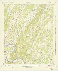
Other maps of this area

1886 · Cleveland
USGS Topo · 1:125,000

1892 · Cleveland
USGS Topo · 1:125,000

1895 · Cleveland
USGS Topo · 1:125,000

1901 · Cleveland
USGS Topo · 1:125,000
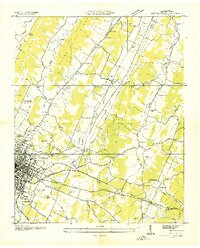
1935 · East Cleveland
USGS Topo · 1:24,000
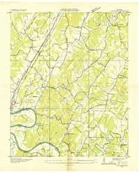
1935 · Calhoun
USGS Topo · 1:24,000
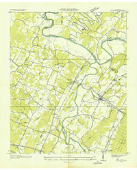
1935 · Benton
USGS Topo · 1:24,000
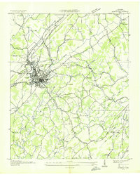
1935 · Athens
USGS Topo · 1:24,000
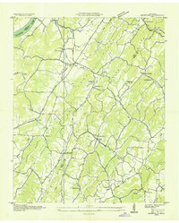
1935 · Goodfield
USGS Topo · 1:24,000
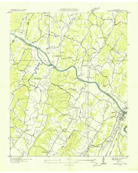
1935 · Charleston
USGS Topo · 1:24,000