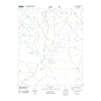
2011 Map of Calhoun NE
USGS Topo · Published 2011About this map
The Conasauga River and its meandering tributaries, including Holly Creek, dominate this landscape north of Calhoun. Settled areas like Holley and Ball Ground are connected by a network of rural roads that cross the water at historical points such as Tibbs Bridge and Browns Bridge. The proximity to the Dalton Municipal Airport and Fincher Bluff suggests a region of varied elevation and development.
Find a feature on this map
99 named features on this map. Tap any name to fly to it.
Don’t see what you’re looking for? This feature index may not catch every label — zoom into the map to look around manually.
Map Details
Editions of this 2011 Calhoun NE Map
This is the sole edition of this map. No revisions or reprints were ever made.
Other maps of this area

1886 · Dalton
USGS Topo · 1:125,000

1892 · Dalton
USGS Topo · 1:125,000

1897 · Dalton
USGS Topo · 1:125,000

1911 · Cohutta Mtn
USGS Topo · 1:62,500

1913 · Cohutta Mtn.
USGS Topo · 1:62,500

1914 · Talking Rock
USGS Topo · 1:62,500

1916 · Talking Rock
USGS Topo · 1:62,500

1938 · Chatsworth
USGS Topo · 1:48,000

1943 · Dalton
USGS Topo · 1:62,500
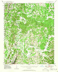
1949 · Calhoun
USGS Topo · 1:62,500