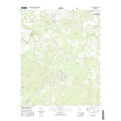
2017 Map of Calhoun NE
USGS Topo · Published 2017About this map
Chatsworth sits at the northeastern edge of this landscape where the valley meets the rising terrain of the Chattahoochee National Forest. The Conasauga River winds south along the border of Whitfield and Murray counties, crossed by notable transit points like Tibbs Bridge and Browns Bridge. The area is characterized by a dense network of rural family and community history, evidenced by numerous burial grounds including Mount Zion, Williams, and Sardis cemeteries. Aviation infrastructure is anchored by the Dalton Municipal Airport near Fincher Bluff. Smaller water bodies like Brindle Lake and Mashburn Lake East dot the southern half of the quadrangle, which is drained by a system of creeks such as Holly Creek, Polecat Creek, and Coahulla Creek. The distribution of these features reflects a transition from the developing municipal outskirts of Dalton to more remote forest lands.
Find a feature on this map
112 named features on this map. Tap any name to fly to it.
Don’t see what you’re looking for? This feature index may not catch every label — zoom into the map to look around manually.
Map Details
Editions of this 2017 Calhoun NE Map
This is the sole edition of this map. No revisions or reprints were ever made.
Other maps of this area

1886 · Dalton
USGS Topo · 1:125,000

1892 · Dalton
USGS Topo · 1:125,000

1897 · Dalton
USGS Topo · 1:125,000

1911 · Cohutta Mtn
USGS Topo · 1:62,500

1913 · Cohutta Mtn.
USGS Topo · 1:62,500

1914 · Talking Rock
USGS Topo · 1:62,500

1916 · Talking Rock
USGS Topo · 1:62,500

1938 · Chatsworth
USGS Topo · 1:48,000

1943 · Dalton
USGS Topo · 1:62,500
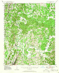
1949 · Calhoun
USGS Topo · 1:62,500