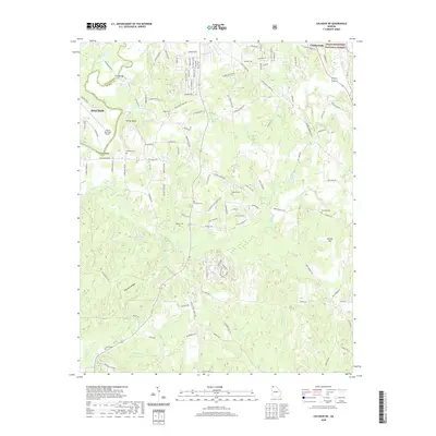
2020 Map of Calhoun NE
USGS Topo · Published 2020About this map
The Conasauga River and its numerous tributaries, including Holly Creek and Bullpen Br, define the landscape of the borderlands between Whitfield and Murray counties. This area is characterized by a series of prominent elevations like Fincher Bluff, Ridley Hill, and the Brockett Ridges, while the northeastern portion is occupied by the protected lands of the Chattahoochee National Forest.
Find a feature on this map
135 named features on this map. Tap any name to fly to it.
Don’t see what you’re looking for? This feature index may not catch every label — zoom into the map to look around manually.
Map Details
Editions of this 2020 Calhoun NE Map
This is the sole edition of this map. No revisions or reprints were ever made.
Other maps of this area

1886 · Dalton
USGS Topo · 1:125,000

1892 · Dalton
USGS Topo · 1:125,000

1897 · Dalton
USGS Topo · 1:125,000

1911 · Cohutta Mtn
USGS Topo · 1:62,500

1913 · Cohutta Mtn.
USGS Topo · 1:62,500

1914 · Talking Rock
USGS Topo · 1:62,500

1916 · Talking Rock
USGS Topo · 1:62,500

1938 · Chatsworth
USGS Topo · 1:48,000

1943 · Dalton
USGS Topo · 1:62,500
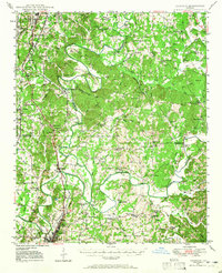
1949 · Calhoun
USGS Topo · 1:62,500