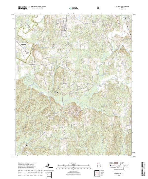
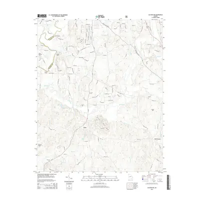
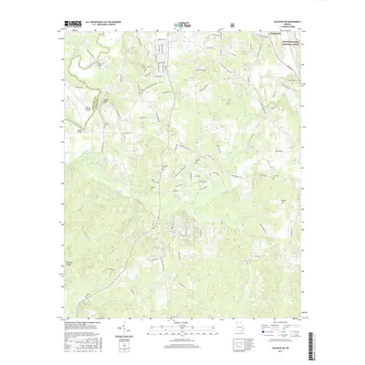
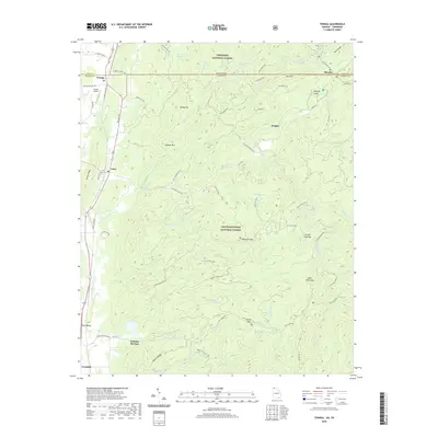
2024 Map of Calhoun NE
USGS Topo · Published 2024About this map
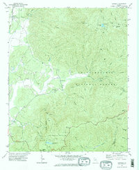
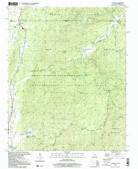
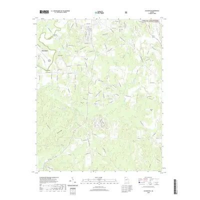
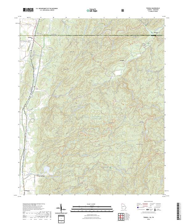
The Chattahoochee National Forest dominates the northeastern corner of this landscape, where the terrain transitions from the valley floor toward the rising elevations of Ridley Hill and Fincher Bluff. This 2024 survey captures the interface between the urban periphery of Dalton and the rural reaches of Murray County. The Conasauga River and Holly Creek carve through the center of the sheet, creating a drainage basin fed by numerous small waterways like Bullpen Branch and Vanns Creek.
Find a feature on this map
130 named features on this map. Tap any name to fly to it.
Don’t see what you’re looking for? This feature index may not catch every label — zoom into the map to look around manually.
Map Details
Editions of this 2024 Calhoun NE Map
This is the sole edition of this map. No revisions or reprints were ever made.
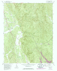
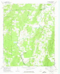
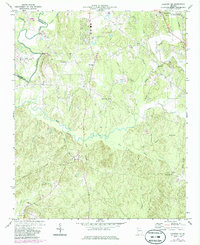
Historical Maps of Dalton Through Time
33 maps found
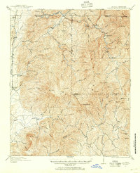
1911 Cohutta Mountain
Murray County, GA
1913 Cuhutta
Murray County, GA
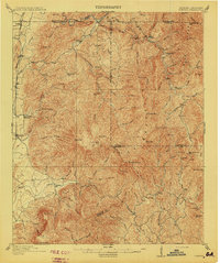
1968 Tennga
Murray County, GA
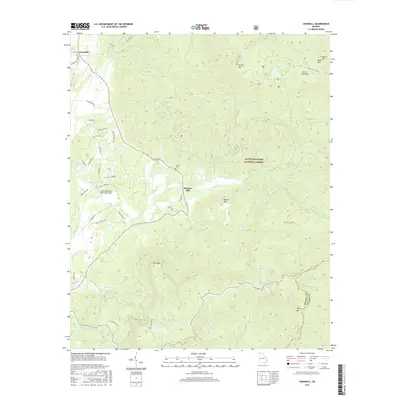
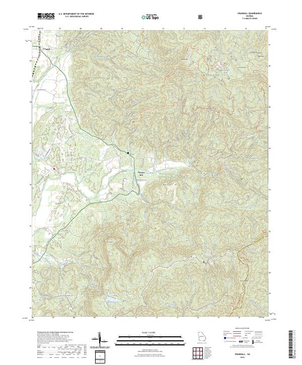
1971 Crandall
Murray County, GA
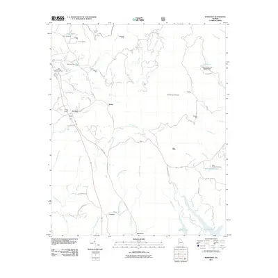
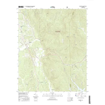
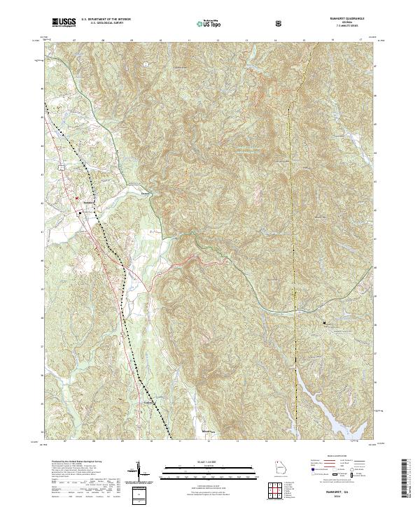
1971 Ramhurst
Murray County, GA
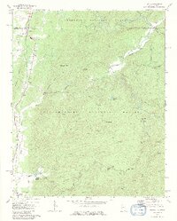
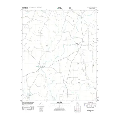
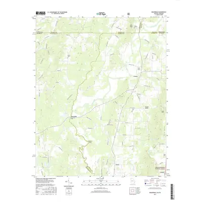
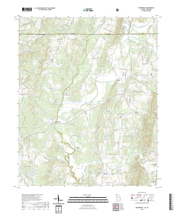
1972 Beaverdale
Murray County, GA
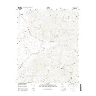
1972 Calhoun NE
Murray County, GA
1997 Tennga
Murray County, GA
2011 Beaverdale
Murray County, GA
2011 Calhoun NE
Murray County, GA
2011 Crandall
Murray County, GA
2011 Ramhurst
Murray County, GA
2011 Tennga
Murray County, GA
2014 Beaverdale
Murray County, GA
2014 Calhoun NE
Murray County, GA
2014 Crandall
Murray County, GA
2014 Ramhurst
Murray County, GA
2014 Tennga
Murray County, GA
2017 Beaverdale
Murray County, GA
2017 Calhoun NE
Murray County, GA
2017 Crandall
Murray County, GA
2017 Ramhurst
Murray County, GA
2017 Tennga
Murray County, GA
2020 Beaverdale
Murray County, GA
2020 Calhoun NE
Murray County, GA
2020 Crandall
Murray County, GA
2020 Ramhurst
Murray County, GA
2020 Tennga
Murray County, GA
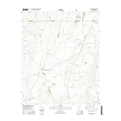
2024 Beaverdale
Murray County, GA
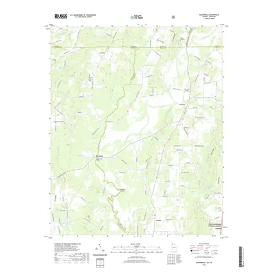
2024 Calhoun NE
Murray County, GA
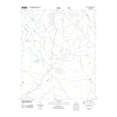
2024 Crandall
Murray County, GA
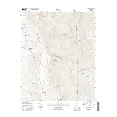
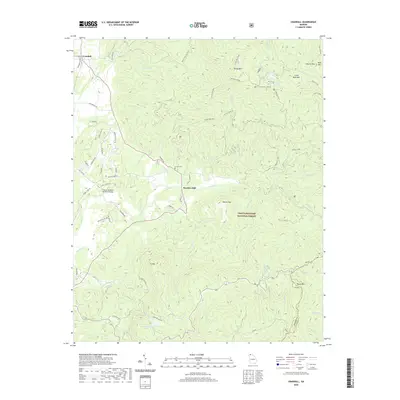
2024 Ramhurst
Murray County, GA
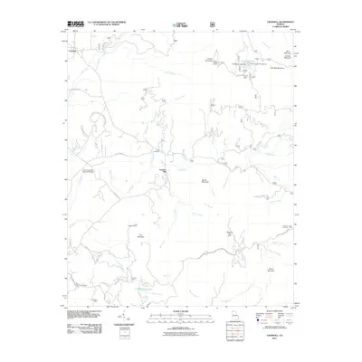
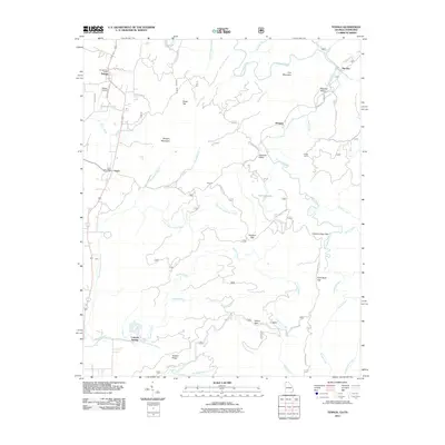
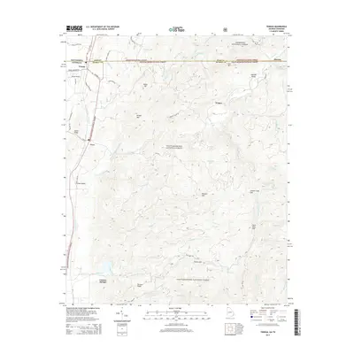
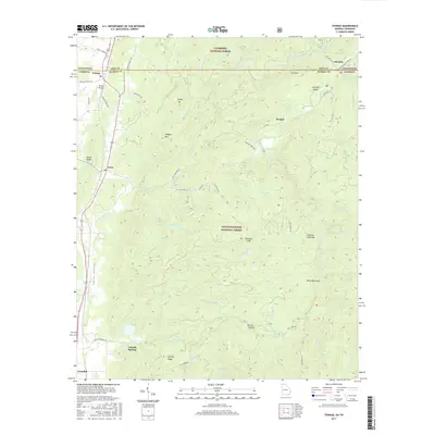
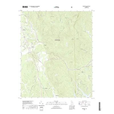
2024 Tennga
Murray County, GA