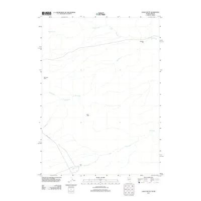
2011 Map of Calico Butte
USGS Topo · Published 2011About this map
Calico Ranch and its surrounding high-desert terrain define this corner of Humboldt County near the Oregon border. The landscape is characterized by its complex drainage network, where Mahogany Creek, Willow Creek, and Calico Creek weave between prominent landforms such as Mahogany Ridge and the namesake Calico Butte. This 2011 survey illustrates the careful management of water in an arid environment, specifically noting Owyhee Reservoir Number Four and several springs. The presence of WildBills Flat and Quinn River Rd suggests the historical and continued importance of ranching and land access in this remote portion of Nevada. The detailed mapping of small watercourses like Piccolo Creek provides a clear view of the seasonal hydrology and topography that supports local livestock operations.
Find a feature on this map
11 named features on this map. Tap any name to fly to it.
Don’t see what you’re looking for? This feature index may not catch every label — zoom into the map to look around manually.
Map Details
Editions of this 2011 Calico Butte Map
This is the sole edition of this map. No revisions or reprints were ever made.
Other maps of this area

1882 · Paradise
USGS Topo · 1:250,000

1893 · Paradise
USGS Topo · 1:250,000

1955 · McDermitt
USGS Topo · 1:250,000

1955 · Jordan Valley
USGS Topo · 1:250,000

1957 · Jordan Valley
USGS Topo · 1:250,000

1958 · Jordan Valley
USGS Topo · 1:250,000

1959 · McDermitt
USGS Topo · 1:250,000

1980 · Calico Butte
USGS Topo · 1:24,000

1980 · Capitol Peak
USGS Topo · 1:24,000

1980 · Mahogany Spring
USGS Topo · 1:24,000