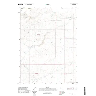
2018 Map of Calico Butte
USGS Topo · Published 2018About this map
Calico Butte rises as a central landmark in this high-desert region of Humboldt County, Nevada, near the Oregon border. The landscape is defined by an intricate network of seasonal drainages, including Calico Cr, Mahogany Cr, and Willow Cr, which feed into the northern basins. Human activity in this arid environment is centered on vital water resources and transportation routes, evidenced by the presence of Owyhee Reservoir Number Four and the winding path of the Quinn River Rd. Smaller named features like Wild Bills Flat and Willow Spring suggest a history of ranching and livestock movement through the Owyhee Desert. The map provides a detailed view of the Public Land Survey System, showing the township and range divisions of T47N and T46N that organized this part of the Great Basin.
Find a feature on this map
16 named features on this map. Tap any name to fly to it.
Don’t see what you’re looking for? This feature index may not catch every label — zoom into the map to look around manually.
Map Details
Editions of this 2018 Calico Butte Map
This is the sole edition of this map. No revisions or reprints were ever made.
Other maps of this area

1882 · Paradise
USGS Topo · 1:250,000

1893 · Paradise
USGS Topo · 1:250,000

1955 · McDermitt
USGS Topo · 1:250,000

1955 · Jordan Valley
USGS Topo · 1:250,000

1957 · Jordan Valley
USGS Topo · 1:250,000

1958 · Jordan Valley
USGS Topo · 1:250,000

1959 · McDermitt
USGS Topo · 1:250,000

1980 · Calico Butte
USGS Topo · 1:24,000

1980 · Capitol Peak
USGS Topo · 1:24,000

1980 · Mahogany Spring
USGS Topo · 1:24,000