Loading...
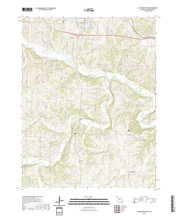
Loading map...2021 Map of California South
USGS Topo · Published 2021About this map
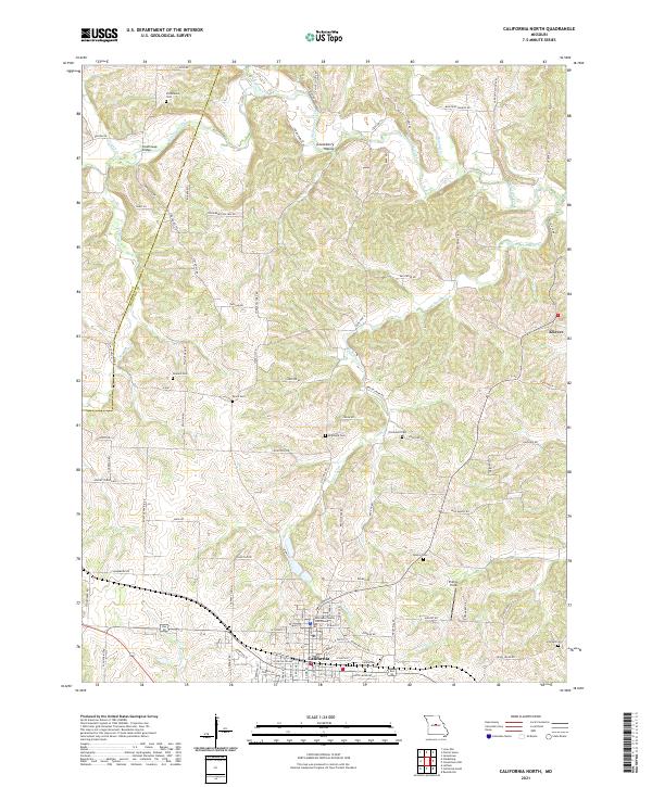
California occupies the northern edge of this Missouri landscape, where the terrain is defined by a dense network of winding tributaries. These waterways, including North Moreau Creek, Mineral Br, and Burris Fork, carve through the rolling hills of Moniteau County. Transportation across these streams is facilitated by structures such as Burris Fork Bridge and McDowell Bridge, marking key crossing points for rural travel.
Find a feature on this map
86 named features on this map. Tap any name to fly to it.
Don’t see what you’re looking for? This feature index may not catch every label — zoom into the map to look around manually.
Map Details
Date Portrayed2021
Date Published2021
PublisherU.S. Geological Survey
Map TypeTopographic
Scale1:24000
Physical Dimensions24 x 29 inches
Editions of this 2021 California South Map
This is the sole edition of this map. No revisions or reprints were ever made.
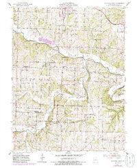
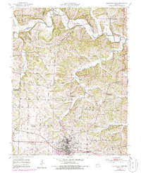
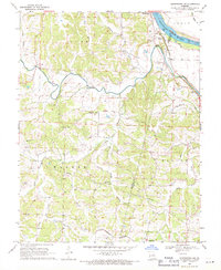
Historical Maps of California Through Time
6 maps found
Featured Locations
Source Details
SourceU.S. Geological Survey
CopyrightPublic Domain