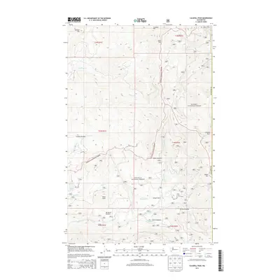
2014 Map of Calispell Peak
USGS Topo · Published 2014About this map
Calispell Peak dominates this section of the Selkirk Mountains, where the high-altitude terrain of the Kanisku National Forest and Colville National Forest meet. The landscape is defined by a series of named meadows that likely reflect early grazing and homesteading history, including Lenhart Meadows, Hidden Meadows, and Pal Moore Meadow. These open spaces are carved out among several prominent summits like Scrabbler Mtn and Olson Peak.
Find a feature on this map
35 named features on this map. Tap any name to fly to it.
Don’t see what you’re looking for? This feature index may not catch every label — zoom into the map to look around manually.
Map Details
Editions of this 2014 Calispell Peak Map
This is the sole edition of this map. No revisions or reprints were ever made.
Other maps of this area

1927 · Chewelah
USGS Topo · 1:125,000

1929 · Colville
USGS Topo · 1:125,000

1930 · Chewelah
USGS Topo · 1:125,000

1933 · Colville
USGS Topo · 1:125,000

1934 · Metaline
USGS Topo · 1:125,000

1936 · Newport
USGS Topo · 1:96,000

1942 · Metaline
USGS Topo · 1:125,000

1942 · Newport
USGS Topo · 1:125,000

1958 · Sandpoint
USGS Topo · 1:250,000

1963 · Sandpoint
USGS Topo · 1:250,000