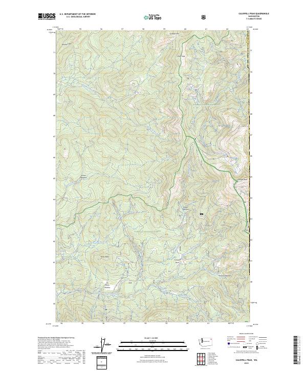
2023 Map of Calispell Peak
USGS Topo · Published 2023About this map
Little Pend Oreille National Wildlife Refuge and the Colville National Forest dominate this landscape on the border of Stevens and Pend Oreille counties. This high-altitude terrain is characterized by a series of named meadows and basins that suggest a history of seasonal grazing and water management. Features like Pal Moore Meadow, Hartill Meadows, and Krumm Meadows represent the family-named landmarks common in Washington's timber and ranching country. The topography rises sharply to Calispell Peak and Saddle Mtn, with the drainage network of North Fork Chewelah Creek and Tacoma Creek carving deep paths through the Kaniksu National Forest. The presence of Phillips Lake and Calispell Basin provides a focused look at the remote high-country water sources that have historically supported both wildlife and local mountain industries.
Find a feature on this map
33 named features on this map. Tap any name to fly to it.
Don’t see what you’re looking for? This feature index may not catch every label — zoom into the map to look around manually.
Map Details
Editions of this 2023 Calispell Peak Map
This is the sole edition of this map. No revisions or reprints were ever made.
Other maps of this area

1927 · Chewelah
USGS Topo · 1:125,000

1929 · Colville
USGS Topo · 1:125,000

1930 · Chewelah
USGS Topo · 1:125,000

1933 · Colville
USGS Topo · 1:125,000

1934 · Metaline
USGS Topo · 1:125,000

1936 · Newport
USGS Topo · 1:96,000

1942 · Metaline
USGS Topo · 1:125,000

1942 · Newport
USGS Topo · 1:125,000

1958 · Sandpoint
USGS Topo · 1:250,000

1963 · Sandpoint
USGS Topo · 1:250,000