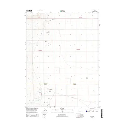
2014 Map of Callao
USGS Topo · Published 2014About this map
Callao occupies a remote stretch of the Snake Valley along the western edge of Utah, where the landscape is defined by drainage washes and isolated springs. The settlement is centered around a network of local roads including Richard Timms Loop and Holden Rd, with the Callao Cem serving as a primary genealogical landmark for the community. The area's historical importance as a transit corridor is evident in the presence of the Pony Express Rd, which traverses the basin north of the main townsite.
Find a feature on this map
31 named features on this map. Tap any name to fly to it.
Don’t see what you’re looking for? This feature index may not catch every label — zoom into the map to look around manually.
Map Details
Editions of this 2014 Callao Map
This is the sole edition of this map. No revisions or reprints were ever made.
Other maps of this area

1908 · Fish Springs
USGS Topo · 1:250,000

1910 · Fish Springs
USGS Topo · 1:250,000

1925 · Gold Hill
USGS Topo · 1:62,500

1928 · Gold Hill
USGS Topo · 1:62,500

1953 · Tooele
USGS Topo · 1:250,000

1953 · Delta
USGS Topo · 1:250,000

1955 · Tooele
USGS Topo · 1:250,000

1958 · Delta
USGS Topo · 1:250,000

1962 · Delta
USGS Topo · 1:250,000

1972 · Mud Lake Reservoir
USGS Topo · 1:24,000