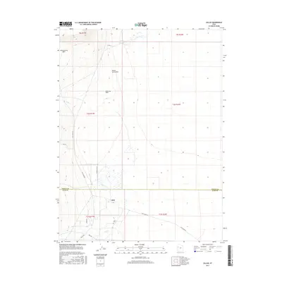
2017 Map of Callao
USGS Topo · Published 2017About this map
Callao anchors this remote desert landscape at the border of Tooele and Juab Counties, where the historical footprint of the Pony Express Rd traces a diagonal path across the arid terrain. The settlement is defined by its relationship to scarce water sources, with Big Spring and Redden Springs feeding into a network of intermittent drainages like Eightmile Wash and Willow Spring Wash. For genealogists and local historians, the Callao Cem remains a primary point of interest, situated near the junction of Bagley Rd and Toms Wash. The map reveals a high-desert environment where names like Swimming Hole Rd suggest the cultural importance of the few perennial water features such as Toms Cr and Basin Cr in an otherwise dry expanse.
Find a feature on this map
21 named features on this map. Tap any name to fly to it.
Don’t see what you’re looking for? This feature index may not catch every label — zoom into the map to look around manually.
Map Details
Editions of this 2017 Callao Map
This is the sole edition of this map. No revisions or reprints were ever made.
Other maps of this area

1908 · Fish Springs
USGS Topo · 1:250,000

1910 · Fish Springs
USGS Topo · 1:250,000

1925 · Gold Hill
USGS Topo · 1:62,500

1928 · Gold Hill
USGS Topo · 1:62,500

1953 · Tooele
USGS Topo · 1:250,000

1953 · Delta
USGS Topo · 1:250,000

1955 · Tooele
USGS Topo · 1:250,000

1958 · Delta
USGS Topo · 1:250,000

1962 · Delta
USGS Topo · 1:250,000

1972 · Mud Lake Reservoir
USGS Topo · 1:24,000