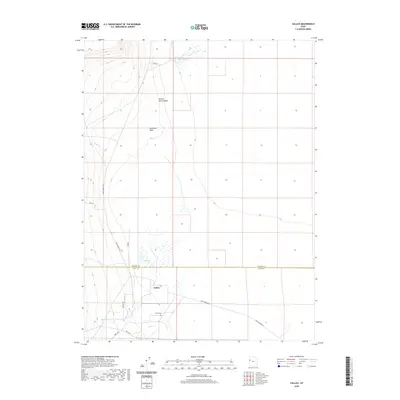
2020 Map of Callao
USGS Topo · Published 2020About this map
Callao sits at the base of the Deep Creek Range, where the high desert meets the salt flats of the Great Basin. This isolated settlement is centered around a network of springs and seasonal watercourses, including Redden Springs and Big Spring, which provide the essential moisture for this arid environment. The landscape is defined by its transit history, following the path of the original pioneer and mail routes across the desert floor.
Find a feature on this map
17 named features on this map. Tap any name to fly to it.
Don’t see what you’re looking for? This feature index may not catch every label — zoom into the map to look around manually.
Map Details
Editions of this 2020 Callao Map
This is the sole edition of this map. No revisions or reprints were ever made.
Other maps of this area

1908 · Fish Springs
USGS Topo · 1:250,000

1910 · Fish Springs
USGS Topo · 1:250,000

1925 · Gold Hill
USGS Topo · 1:62,500

1928 · Gold Hill
USGS Topo · 1:62,500

1953 · Tooele
USGS Topo · 1:250,000

1953 · Delta
USGS Topo · 1:250,000

1955 · Tooele
USGS Topo · 1:250,000

1958 · Delta
USGS Topo · 1:250,000

1962 · Delta
USGS Topo · 1:250,000

1972 · Mud Lake Reservoir
USGS Topo · 1:24,000