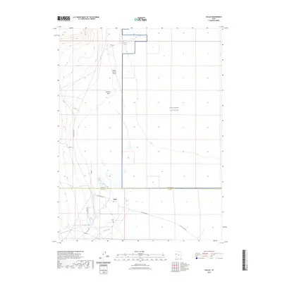
2023 Map of Callao
USGS Topo · Published 2023About this map
Callao serves as the primary focal point of this arid landscape, situated just south of the Tooele Co and Juab Co line. The settlement is anchored by the Callao Cem, while the historic Pony Express Rd cuts through the desert, tracing a legacy of early American communications. The terrain is defined by a network of drainage channels such as Willow Spring Wash and Eightmile Wash, which feed toward the marshy basins near Big Spring.
Find a feature on this map
15 named features on this map. Tap any name to fly to it.
Don’t see what you’re looking for? This feature index may not catch every label — zoom into the map to look around manually.
Map Details
Editions of this 2023 Callao Map
This is the sole edition of this map. No revisions or reprints were ever made.
Other maps of this area

1908 · Fish Springs
USGS Topo · 1:250,000

1910 · Fish Springs
USGS Topo · 1:250,000

1925 · Gold Hill
USGS Topo · 1:62,500

1928 · Gold Hill
USGS Topo · 1:62,500

1953 · Tooele
USGS Topo · 1:250,000

1953 · Delta
USGS Topo · 1:250,000

1955 · Tooele
USGS Topo · 1:250,000

1958 · Delta
USGS Topo · 1:250,000

1962 · Delta
USGS Topo · 1:250,000

1972 · Mud Lake Reservoir
USGS Topo · 1:24,000