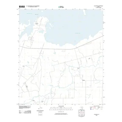
2010 Map of Calliham
USGS Topo · Published 2010About this map
Yarbrough Lake dominates the northern landscape of this South Texas region, where the energy industry and rural ranching intersect along the Nueces River valley. The small settlements of Calliham and Simmons serve as the primary hubs for the area, with the latter home to the Simmons Cemetery. The land is heavily marked by resource extraction, featuring the Callham Oil Field, Claunch Oil Field, and the Ezzell River Oil Field near the southern boundary. Water management is central to the local geography, as seen in the Paisano Ranch Dam and Mize Lake Dam which regulate flow for various ranching operations. Aviation and transport are represented by the Paisano Ranch Airport and a network of Farm to Market roads like FM 1842 and FM 1873.
Find a feature on this map
33 named features on this map. Tap any name to fly to it.
Don’t see what you’re looking for? This feature index may not catch every label — zoom into the map to look around manually.
Map Details
Editions of this 2010 Calliham Map
This is the sole edition of this map. No revisions or reprints were ever made.
Other maps of this area

1920 · Mikeska
USGS Topo · 1:125,000

1925 · Simmons No. 1
USGS Topo · 1:48,000

1925 · Crowther No. 3
USGS Topo · 1:48,000

1925 · Simmons No. 2
USGS Topo · 1:48,000

1927 · Oakville
USGS Topo · 1:62,500

1929 · Simmons
USGS Topo · 1:62,500

1930 · Whitsett
USGS Topo · 1:62,500

1942 · Whitsett
USGS Topo · 1:62,500

1953 · Crystal City
USGS Topo · 1:250,000

1955 · Crystal City
USGS Topo · 1:250,000