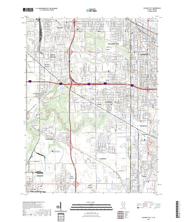
2024 Map of Calumet City
USGS Topo · Published 2024About this map
Lansing and Calumet City anchor this heavily developed corridor along the Illinois-Indiana state line, where industrial infrastructure meets complex hydrology. The Grand Calumet River and Thorn Creek weave through a landscape densely packed with established neighborhoods and transportation arteries. A high concentration of memorial sites, including Oakland Memory Lanes and Mount Glenwood Memory Gardens South, suggests the long-standing community roots within this suburban hub.
Find a feature on this map
65 named features on this map. Tap any name to fly to it.
Don’t see what you’re looking for? This feature index may not catch every label — zoom into the map to look around manually.
Map Details
Editions of this 2024 Calumet City Map
This is the sole edition of this map. No revisions or reprints were ever made.
Other maps of this area

1892 · Calumet
USGS Topo · 1:62,500

1893 · Calumet
USGS Topo · 1:62,500

1900 · Toleston
USGS Topo · 1:62,500

1900 · Calumet
USGS Topo · 1:62,500

1901 · Calumet
USGS Topo · 1:62,500

1929 · Calumet Lake
USGS Topo · 1:24,000

1929 · Calumet City
USGS Topo · 1:24,000
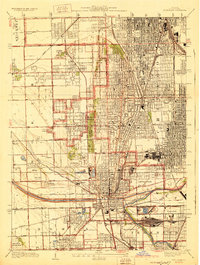
1929 · Blue Island
USGS Topo · 1:24,000

1929 · Harvey
USGS Topo · 1:24,000

1929 · Dyer
USGS Topo · 1:24,000