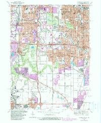
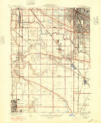
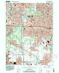
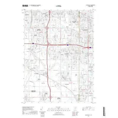
1968 Map of Calumet City
USGS Topo · Published 1990About this map
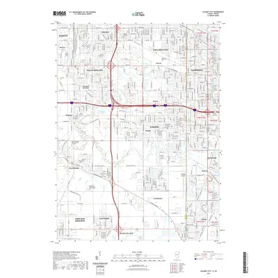
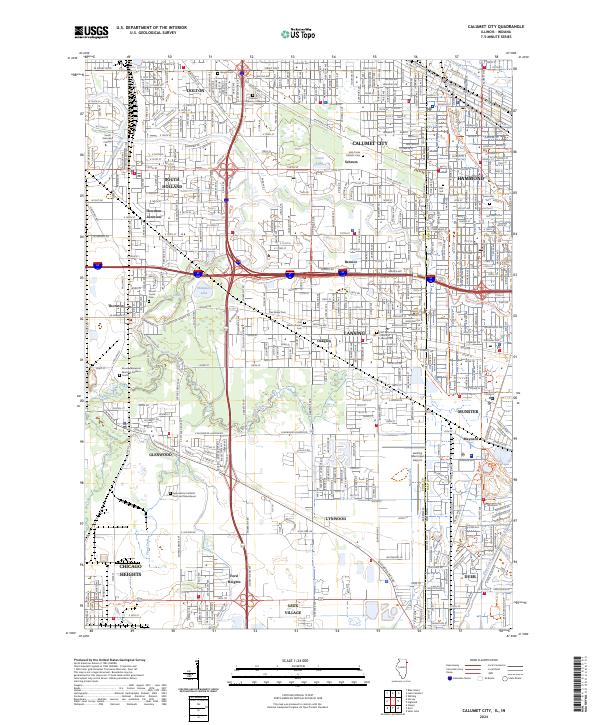
Lansing Municipal Airport and a dense network of expressways define the mid-century expansion along the Illinois-Indiana border. This survey documents the post-war industrial and residential growth of Calumet City and Hammond during a period of significant urban transformation. The landscape is a complex mix of heavy infrastructure, such as the Grand Trunk Western and Indiana Harbor Belt railroads, and preserved green spaces like Wentworth Woods. A notable geographic feature is Stony Island, situated near the crossing of the Calumet Expressway and the Little Calumet River. Cultural landmarks are numerous, including St Margarets Hospital and Thornridge High Sch, which served the burgeoning populations of South Holland and Lansing. The map also captures several large religious and civic sites, from Holy Cross Cemetery to the sprawling Quarry near Thornton.
Find a feature on this map
84 named features on this map. Tap any name to fly to it.
Don’t see what you’re looking for? This feature index may not catch every label — zoom into the map to look around manually.
Map Details
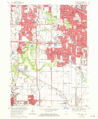
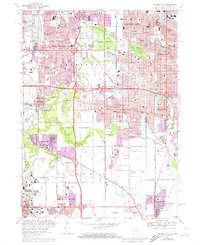
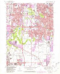
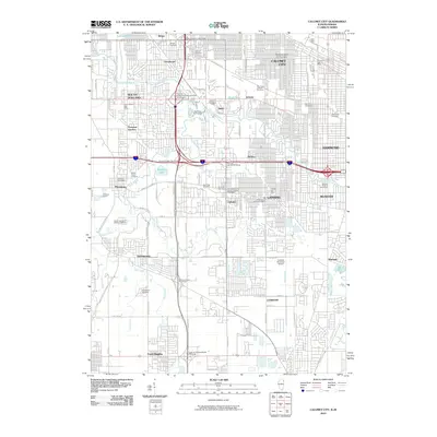
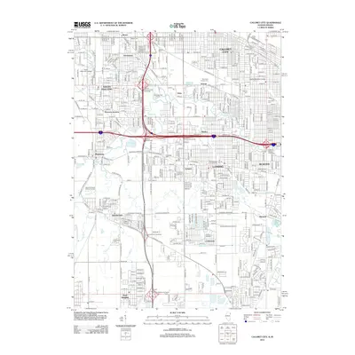
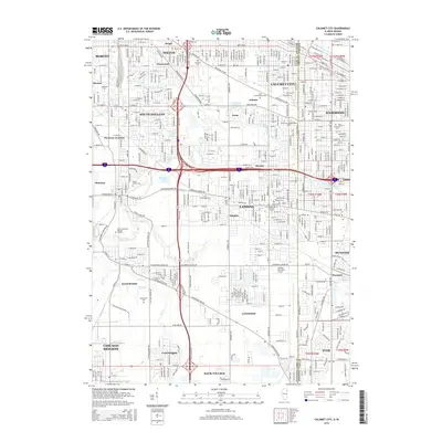
Editions of this 1968 Calumet City Map
4 editions found
Historical Maps of Hammond Through Time
12 maps found
1929 Calumet City
Cook County, IL
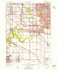
1953 Calumet City
Cook County, IL
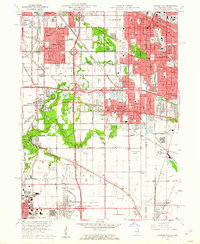
1960 Calumet City
Cook County, IL
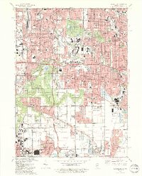
1968 Calumet City
Cook County, IL
1991 Calumet City
Cook County, IL
1998 Calumet City
Cook County, IL
2010 Calumet City
Cook County, IL
2012 Calumet City
Cook County, IL
2015 Calumet City
Cook County, IL
2018 Calumet City
Cook County, IL
2021 Calumet City
Cook County, IL
2024 Calumet City
Cook County, IL
Featured Locations
- Lansing, IL
- Chicago Heights, Bloom Township
- Hammond, North Township
- Munster, North Township
- Calumet City, Thornton Township