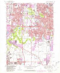
1968 Map of Calumet City
USGS Topo · Published 1981About this map
The Little Calumet River and Grand Calumet River define the industrial and residential corridors of this borderland area during a period of intense post-war expansion. Urban development, noted in purple revisions, pushes against established landmarks like Wentworth Woods and the Thorn Creek Forest Preserve. The map documents a dense network of Catholic education, including St Jude the Apostle Sch and St Victors Sch, alongside the sprawling Assumption Cemetery.
Find a feature on this map
94 named features on this map. Tap any name to fly to it.
Don’t see what you’re looking for? This feature index may not catch every label — zoom into the map to look around manually.
Map Details
Editions of this 1968 Calumet City Map
4 editions found
Other maps of this area

1892 · Calumet
USGS Topo · 1:62,500

1893 · Calumet
USGS Topo · 1:62,500

1900 · Toleston
USGS Topo · 1:62,500

1900 · Calumet
USGS Topo · 1:62,500

1901 · Calumet
USGS Topo · 1:62,500

1929 · Calumet Lake
USGS Topo · 1:24,000

1929 · Calumet City
USGS Topo · 1:24,000
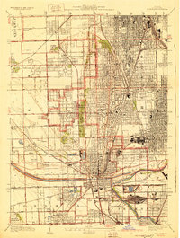
1929 · Blue Island
USGS Topo · 1:24,000

1929 · Harvey
USGS Topo · 1:24,000

1929 · Dyer
USGS Topo · 1:24,000