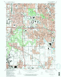
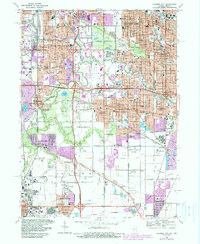
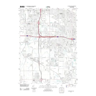
1991 Map of Calumet City
USGS Topo · Published 1992About this map
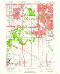
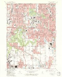
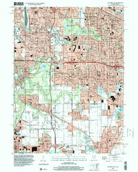
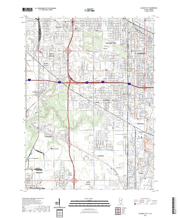
The Little Calumet River and Grand Calumet River define the industrial and residential corridors of this border region as it appeared in the early 1990s. The landscape is a complex patchwork of established communities like Calumet City and Hammond interwoven with the sprawling Cook County Forest Preserve, which provides significant green space at Lansing Woods and Wentworth Woods. Heavy industry is evidenced by massive Quarry operations near Thornton and several Claypits further south.
Find a feature on this map
83 named features on this map. Tap any name to fly to it.
Don’t see what you’re looking for? This feature index may not catch every label — zoom into the map to look around manually.
Map Details
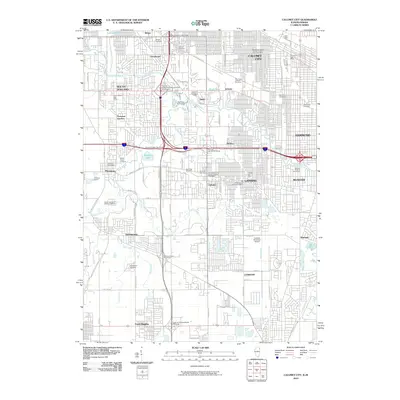
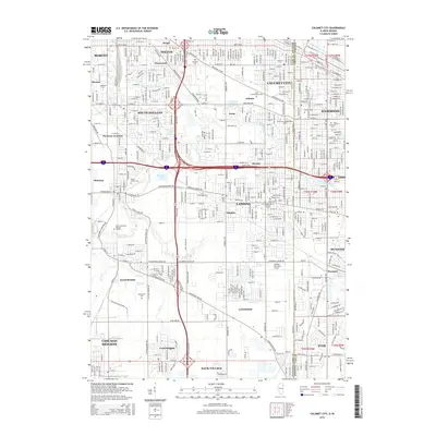
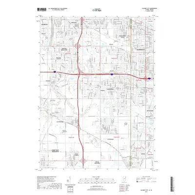
Editions of this 1991 Calumet City Map
2 editions found
Historical Maps of Hammond Through Time
12 maps found
1929 Calumet City
Cook County, IL
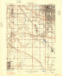
1953 Calumet City
Cook County, IL
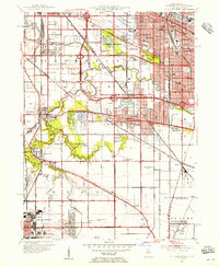
1960 Calumet City
Cook County, IL
1968 Calumet City
Cook County, IL
1991 Calumet City
Cook County, IL
1998 Calumet City
Cook County, IL
2010 Calumet City
Cook County, IL
2012 Calumet City
Cook County, IL
2015 Calumet City
Cook County, IL
2018 Calumet City
Cook County, IL
2021 Calumet City
Cook County, IL
2024 Calumet City
Cook County, IL
Featured Locations
- Lansing, IL
- Chicago Heights, Bloom Township
- Hammond, North Township
- Munster, North Township
- Calumet City, Thornton Township