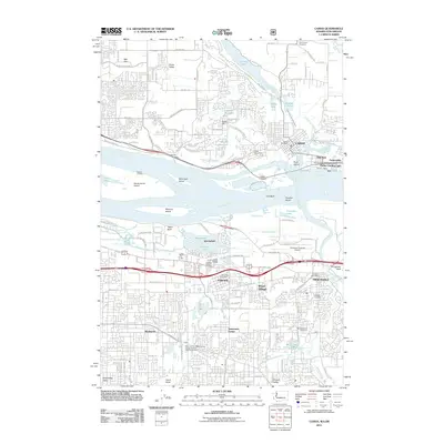
2011 Map of Camas
USGS Topo · Published 2011About this map
The Columbia River divides this landscape where Washington and Oregon meet, anchoring a complex network of industrial and transport infrastructure. On the northern shore, Camas and Parkersville sit near the confluence of the Washougal River, while to the south, Troutdale and Fairview mark the edge of the Greater Portland area. The map illustrates the region's diverse economic history, from the Port of Camas-Washougal and the Parker Landing Light to the modern Ruby Junction Maintenance Facility-Portland Light Rail System.
Find a feature on this map
138 named features on this map. Tap any name to fly to it.
Don’t see what you’re looking for? This feature index may not catch every label — zoom into the map to look around manually.
Map Details
Editions of this 2011 Camas Map
This is the sole edition of this map. No revisions or reprints were ever made.
Other maps of this area

1897 · Portland
USGS Topo · 1:62,500

1905 · Portland
USGS Topo · 1:62,500

1911 · Boring
USGS Topo · 1:48,000

1914 · Boring
USGS Topo · 1:62,500

1914 · Oregon City
USGS Topo · 1:62,500

1916 · Estacada
USGS Topo · 1:125,000

1918 · Troutdale
USGS Topo · 1:62,500

1934 · Troutdale
USGS Topo · 1:48,000

1939 · Oregon City
USGS Topo · 1:62,500

1940 · Boring
USGS Topo · 1:62,500