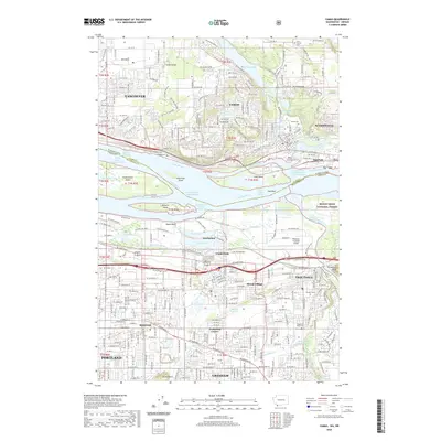
2020 Map of Camas
USGS Topo · Published 2020About this map
The Columbia River serves as the central artery and state boundary in this 2020 map, separating the Washington communities of Vancouver, Camas, and Washougal from the Oregon cities of Portland, Gresham, and Troutdale. The industrial and natural landscape is defined by the river’s complex channels and islands, including Government Island and Lady Island, alongside the legacy of the Fisher Quarry and the BNSF Railway. Residential growth is evident across Prune Hill and Grass Valley, while the southern reaches show the institutional presence of Mount Hood College. Local history is anchored by numerous burial grounds such as Fern Prairie Cem and Camas Cem, and the eastern edge transitions into the protected terrain of the Mount Hood National Forest. Notable water bodies like Lacamas Lake and Fairview Lake punctuate the urbanized grid, providing a clear view of how water and topography have shaped the development of the Portland metropolitan periphery.
Find a feature on this map
176 named features on this map. Tap any name to fly to it.
Don’t see what you’re looking for? This feature index may not catch every label — zoom into the map to look around manually.
Map Details
Editions of this 2020 Camas Map
This is the sole edition of this map. No revisions or reprints were ever made.
Other maps of this area

1897 · Portland
USGS Topo · 1:62,500

1905 · Portland
USGS Topo · 1:62,500

1911 · Boring
USGS Topo · 1:48,000

1914 · Boring
USGS Topo · 1:62,500

1914 · Oregon City
USGS Topo · 1:62,500

1916 · Estacada
USGS Topo · 1:125,000

1918 · Troutdale
USGS Topo · 1:62,500

1934 · Troutdale
USGS Topo · 1:48,000

1939 · Oregon City
USGS Topo · 1:62,500

1940 · Boring
USGS Topo · 1:62,500