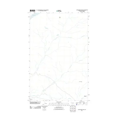
2011 Map of Camas Ridge West
USGS Topo · Published 2011About this map
Camas Creek Entrance serves as a primary access point to this mountainous corridor of Flathead County, where the landscape is defined by the parallel elevations of Adair Ridge and Camas Ridge. The drainage patterns are well-defined by the paths of Anaconda Creek, Dutch Creek, and Camas Creek, which flow through the steep terrain toward the southern reaches of the quadrangle. High-altitude meadows, such as Christensen Meadows, represent the sparse natural clearings within the timbered slopes. This 2011 survey documents the established network of backcountry roads and trails that skirt the edge of Logging Lake and follow the contours of McGee Creek, illustrating how geographic features and water systems dictated the early routing and management of this remote wilderness area.
Find a feature on this map
9 named features on this map. Tap any name to fly to it.
Don’t see what you’re looking for? This feature index may not catch every label — zoom into the map to look around manually.
Map Details
Editions of this 2011 Camas Ridge West Map
This is the sole edition of this map. No revisions or reprints were ever made.
Other maps of this area

1904 · Chief Mountain
USGS Topo · 1:125,000

1906 · Kintla Lakes
USGS Topo · 1:125,000

1938 · Chief Mountain
USGS Topo · 1:125,000

1938 · Kintla Lakes
USGS Topo · 1:125,000

1957 · Kalispell
USGS Topo · 1:250,000

1960 · Kalispell
USGS Topo · 1:250,000

1960 · Cut Bank
USGS Topo · 1:250,000

1961 · Kalispell
USGS Topo · 1:250,000

1963 · Cut Bank
USGS Topo · 1:250,000

1964 · Cut Bank
USGS Topo · 1:250,000