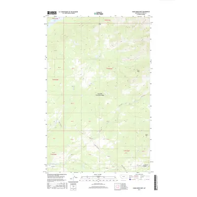
2017 Map of Camas Ridge West
USGS Topo · Published 2017About this map
Glacier National Park encompasses the majority of this landscape in the northern Rockies, dominated by the parallel formations of Adair Ridge, Dutch Ridge, and Camas Ridge. The drainage patterns are defined by several key water bodies, including Logging Lake in the northwest and the south-flowing Dutch Creek. Access to these remote elevations is facilitated by the Inside N Fork Road and Camas Road, which skirt the lower elevations near Christensen Meadows. The map reveals a wild, protected environment where naming conventions like Anaconda Cr and McGee Cr reflect the early explorations of the Flathead River's North Fork area. This survey provides a precise account of the park's topography and the few established routes through its steep drainage basins.
Find a feature on this map
32 named features on this map. Tap any name to fly to it.
Don’t see what you’re looking for? This feature index may not catch every label — zoom into the map to look around manually.
Map Details
Editions of this 2017 Camas Ridge West Map
This is the sole edition of this map. No revisions or reprints were ever made.
Other maps of this area

1904 · Chief Mountain
USGS Topo · 1:125,000

1906 · Kintla Lakes
USGS Topo · 1:125,000

1938 · Chief Mountain
USGS Topo · 1:125,000

1938 · Kintla Lakes
USGS Topo · 1:125,000

1957 · Kalispell
USGS Topo · 1:250,000

1960 · Kalispell
USGS Topo · 1:250,000

1960 · Cut Bank
USGS Topo · 1:250,000

1961 · Kalispell
USGS Topo · 1:250,000

1963 · Cut Bank
USGS Topo · 1:250,000

1964 · Cut Bank
USGS Topo · 1:250,000