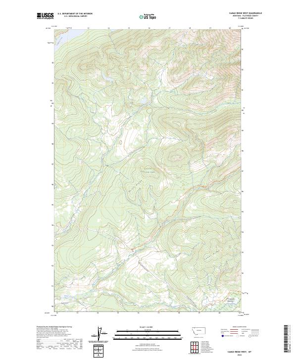
2024 Map of Camas Ridge West
USGS Topo · Published 2024About this map
Glacier National Park defines the northern reaches of this landscape, where the high-altitude terrain is carved by the deep drainages of Anaconda Creek and Dutch Creek. The western slope of Camas Ridge transitions into the open valley of Christensen Meadows, a notable level clearing amidst the otherwise steep topography. A network of historic paths, including the Logging Lake Trl, Dutch Creek Trl, and Camas Creek Trl, provides access to the remote backcountry, tracing the natural contours of the ridges and watercourses. This area remains largely undeveloped, characterized by its primary road access via the Inside North Fork Road and Camas Road in the south. The mapping of these drainages and meadows reflects the intricate hydrology of the Flathead County wilderness, where Dutch Ridge separates the primary creek systems.
Find a feature on this map
17 named features on this map. Tap any name to fly to it.
Don’t see what you’re looking for? This feature index may not catch every label — zoom into the map to look around manually.
Map Details
Editions of this 2024 Camas Ridge West Map
This is the sole edition of this map. No revisions or reprints were ever made.
Other maps of this area

1904 · Chief Mountain
USGS Topo · 1:125,000

1906 · Kintla Lakes
USGS Topo · 1:125,000

1938 · Chief Mountain
USGS Topo · 1:125,000

1938 · Kintla Lakes
USGS Topo · 1:125,000

1957 · Kalispell
USGS Topo · 1:250,000

1960 · Kalispell
USGS Topo · 1:250,000

1960 · Cut Bank
USGS Topo · 1:250,000

1961 · Kalispell
USGS Topo · 1:250,000

1963 · Cut Bank
USGS Topo · 1:250,000

1964 · Cut Bank
USGS Topo · 1:250,000