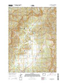
2014 Map of Camas Valley
USGS Topo · Published 2014About this map
Camas Valley occupies a prominent basin in this 2014 survey, where the Middle Fork Coquille River and its various tributaries, including Jim Belieu Cr and Kirkendall Br, define the local drainage. The area is characterized by numerous small-scale water management features like Combs Reservoir, Thrush Reservoir, and Barnhart Reservoir, which are concentrated near the settlement. For genealogists and local historians, the landscape is punctuated by several family-named burial sites, including Patterson Cem, Martindale Cem, and Murray Cem, offering clear locations for ancestral research.
Find a feature on this map
78 named features on this map. Tap any name to fly to it.
Don’t see what you’re looking for? This feature index may not catch every label — zoom into the map to look around manually.
Map Details
Editions of this 2014 Camas Valley Map
This is the sole edition of this map. No revisions or reprints were ever made.
Other maps of this area

1928 · Sitkum
USGS Topo · 1:125,000

1946 · Dutchman Butte
USGS Topo · 1:62,500

1948 · Dutchman Butte
USGS Topo · 1:62,500

1954 · Bone Mountain
USGS Topo · 1:62,500

1955 · Camas Valley
USGS Topo · 1:62,500

1955 · Sitkum
USGS Topo · 1:62,500

1955 · Medford
USGS Topo · 1:250,000

1957 · Medford
USGS Topo · 1:250,000

1958 · Medford
USGS Topo · 1:250,000

1958 · Roseburg
USGS Topo · 1:250,000