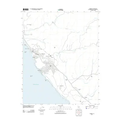
2012 Map of Cambria
USGS Topo · Published 2012About this map
The Pacific coast of San Luis Obispo County unfolds here, centered on the multifaceted development of Cambria and its various residential enclaves. This 2012 survey illustrates a distinct coastal pattern where the community is divided into specific named neighborhoods such as West Village, East Village, and the hillside pockets of Lodge Hill and Park Hill. The landscape transitions from the shoreline access at Leffingwell Landing and Moonstone Beach to the interior valleys defined by Santa Rosa Creek and Green Valley Creek. Local history is anchored by the Cambria Cemetery and Santa Rosa Cemetery, while the southern reaches of the map show the small settlement of Harmony and the surrounding Harmony Valley. The geography is marked by significant coastal features like Von Helm Rock and White Rock, alongside inland landmarks like Scott Rock and the grazing lands of Palmer Flats.
Find a feature on this map
95 named features on this map. Tap any name to fly to it.
Don’t see what you’re looking for? This feature index may not catch every label — zoom into the map to look around manually.
Map Details
Editions of this 2012 Cambria Map
This is the sole edition of this map. No revisions or reprints were ever made.
Other maps of this area

1897 · Cayucos
USGS Topo · 1:62,500

1900 · San Luis
USGS Topo · 1:125,000

1919 · Adelaida
USGS Topo · 1:62,500

1919 · San Simeon
USGS Topo · 1:62,500

1932 · Adelaida
USGS Topo · 1:62,500

1937 · Cayucos
USGS Topo · 1:62,500

1937 · San Simeon
USGS Topo · 1:62,500

1942 · Adelaida
USGS Topo · 1:62,500

1943 · Cayucos
USGS Topo · 1:62,500

1947 · San Luis Obispo
USGS Topo · 1:250,000