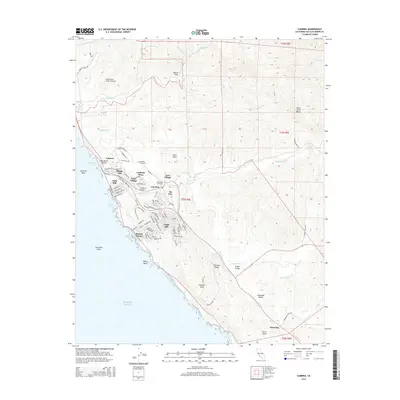
2015 Map of Cambria
USGS Topo · Published 2015About this map
Santa Rosa Creek cuts through the coastal mountains of San Luis Obispo County, providing a narrow valley for the development of Cambria, seen here divided into its primary districts. The map documents the residential spread of Lodge Hill and Marine Terrace toward the Pacific Ocean, while maintaining the distinct footprints of the West Village and East Village. This 2015 survey reveals a community deeply integrated with its geography, where the Santa Rosa Creek Trail and Dairy Trail navigate the steep slopes and historical agricultural lands once part of the local ranching economy.
Find a feature on this map
101 named features on this map. Tap any name to fly to it.
Don’t see what you’re looking for? This feature index may not catch every label — zoom into the map to look around manually.
Map Details
Editions of this 2015 Cambria Map
This is the sole edition of this map. No revisions or reprints were ever made.
Other maps of this area

1897 · Cayucos
USGS Topo · 1:62,500

1900 · San Luis
USGS Topo · 1:125,000

1919 · Adelaida
USGS Topo · 1:62,500

1919 · San Simeon
USGS Topo · 1:62,500

1932 · Adelaida
USGS Topo · 1:62,500

1937 · Cayucos
USGS Topo · 1:62,500

1937 · San Simeon
USGS Topo · 1:62,500

1942 · Adelaida
USGS Topo · 1:62,500

1943 · Cayucos
USGS Topo · 1:62,500

1947 · San Luis Obispo
USGS Topo · 1:250,000