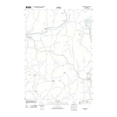
2010 Map of Cambridge
USGS Topo · Published 2010About this map
Batten-Kill and its various tributaries define this Washington County landscape, winding through a network of rural settlements and agricultural corridors. The village of Greenwich serves as a primary hub on the western edge of the quadrangle, while Cambridge anchors the southeast corner. Between these established centers, smaller hamlets like Battenville, Center Falls, and Coila appear along the waterways and road intersections, reflecting a classic New York settlement pattern tied to early water power and transportation routes.
Find a feature on this map
83 named features on this map. Tap any name to fly to it.
Don’t see what you’re looking for? This feature index may not catch every label — zoom into the map to look around manually.
Map Details
Editions of this 2010 Cambridge Map
This is the sole edition of this map. No revisions or reprints were ever made.
Other maps of this area

1893 · Cohoes
USGS Topo · 1:62,500

1895 · Cohoes
USGS Topo · 1:62,500

1895 · Cambridge
USGS Topo · 1:62,500

1897 · Hoosick
USGS Topo · 1:62,500

1898 · Cambridge
USGS Topo · 1:62,500

1898 · Cohoes
USGS Topo · 1:62,500

1900 · Taconic
USGS Topo · 1:125,000

1900 · Schuylerville
USGS Topo · 1:62,500

1901 · Cambridge
USGS Topo · 1:62,500

1903 · Mettawee
USGS Topo · 1:125,000