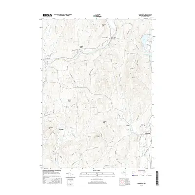
2016 Map of Cambridge
USGS Topo · Published 2016About this map
Batten Kill meanders through this portion of Washington County, connecting the established communities of Greenwich and Cambridge. This 2016 survey documents a landscape where agricultural heritage persists alongside recreational water bodies like Hedges Lake and Lake Lauderdale. The settlement pattern remains centered on historic clusters such as Battenville, Center Falls, and Coila, reflecting the early industrial and social hubs of the region.
Find a feature on this map
118 named features on this map. Tap any name to fly to it.
Don’t see what you’re looking for? This feature index may not catch every label — zoom into the map to look around manually.
Map Details
Editions of this 2016 Cambridge Map
This is the sole edition of this map. No revisions or reprints were ever made.
Other maps of this area

1893 · Cohoes
USGS Topo · 1:62,500

1895 · Cohoes
USGS Topo · 1:62,500

1895 · Cambridge
USGS Topo · 1:62,500

1897 · Hoosick
USGS Topo · 1:62,500

1898 · Cambridge
USGS Topo · 1:62,500

1898 · Cohoes
USGS Topo · 1:62,500

1900 · Taconic
USGS Topo · 1:125,000

1900 · Schuylerville
USGS Topo · 1:62,500

1901 · Cambridge
USGS Topo · 1:62,500

1903 · Mettawee
USGS Topo · 1:125,000