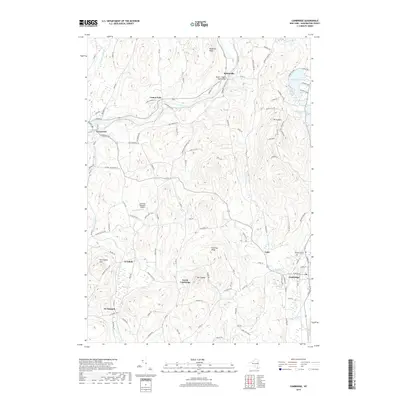
2019 Map of Cambridge
USGS Topo · Published 2019About this map
Batten Kill flows through a landscape defined by small valley settlements and high ridges in this Washington County study. The village of Greenwich and the hamlet of Battenville sit along the river's path, connected by the Batten - Dugan Road Bridge. To the southeast, the village of Cambridge is centered near Woodlands Cem and the confluence of Cambridge Cr and Owl Kill.
Find a feature on this map
119 named features on this map. Tap any name to fly to it.
Don’t see what you’re looking for? This feature index may not catch every label — zoom into the map to look around manually.
Map Details
Editions of this 2019 Cambridge Map
This is the sole edition of this map. No revisions or reprints were ever made.
Other maps of this area

1893 · Cohoes
USGS Topo · 1:62,500

1895 · Cohoes
USGS Topo · 1:62,500

1895 · Cambridge
USGS Topo · 1:62,500

1897 · Hoosick
USGS Topo · 1:62,500

1898 · Cambridge
USGS Topo · 1:62,500

1898 · Cohoes
USGS Topo · 1:62,500

1900 · Taconic
USGS Topo · 1:125,000

1900 · Schuylerville
USGS Topo · 1:62,500

1901 · Cambridge
USGS Topo · 1:62,500

1903 · Mettawee
USGS Topo · 1:125,000